Kirovohrad Oblast, Administrative region in central Ukraine
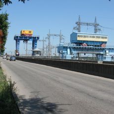
Kirovohrad Oblast is an administrative region in central Ukraine covering 24600 square kilometers (9500 square miles) that includes agricultural plains, industrial centers and a network of rivers. The territory is divided into 21 administrative districts with several larger towns connected by an extensive road and railway network.
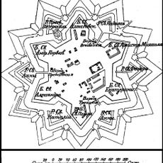
This administrative unit was established on January 10, 1939, from territories previously inhabited by Scythians and the East Slavic tribe of Ulichis. The borders followed administrative needs of the Soviet reform at that time.
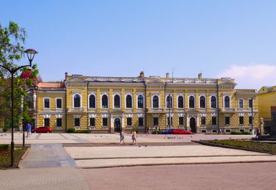
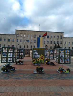
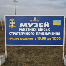
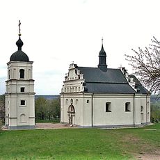
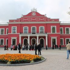
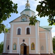
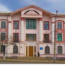
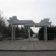
The area maintains traditional Ukrainian folk customs through numerous museums, festivals and cultural institutions, especially in its capital Kropyvnytskyi. These cultural events showcase local crafts and music that visitors can experience throughout the year.
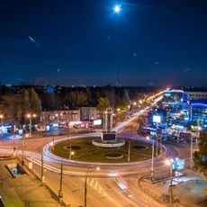
The territory is accessible through a well-developed transport network of highways and railway lines connecting major towns. Travelers can find accommodation in the larger settlements, while smaller villages retain a more rural character.
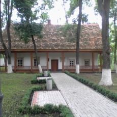
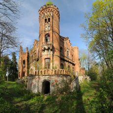
Dobrovelychkivka within the territory marks the geographical center of Ukraine and is known for this special location. Archaeological excavations in this area have uncovered significant finds from ancient settlements that are now displayed in regional collections.
Location: Ukraine
Inception: January 10, 1939
Capital city: Kropyvnytskyi
Reference: КІР
Shares border with: Vinnytsia Oblast, Poltava Oblast, Odesa Oblast, Mykolaiv Oblast, Cherkasy Oblast, Dnipropetrovsk Oblast
Phone: +380522240330
Email: public@kr-admin.gov.ua
Website: http://kr-admin.gov.ua
GPS coordinates: 48.46000,32.27000
Latest update: December 12, 2025 23:47
Sofiyivsky Park
154.4 km
Kriukiv Bridge
107.4 km
Buky Canyon
154 km
Monument to border guards and service dogs in Lehedzyne
134.5 km
Karachunivka Reservoir
93 km
Kremenchuk Hydroelectric Power Plant
99.5 km
Tomb of Nachman of Breslov
153.2 km
Strategic missile forces museum in Ukraine
122.6 km
Illinska Church in Subotiv
73.6 km
Nebelivka
127.8 km
Kropyvnytskyi Raion
17.8 km
National Nature Park Bug Gard
108.7 km
Kirovohrad Academic Ukrainian Music and Drama Theater
6 km
Millennial oak tree of Maksym Zaliznyak
72.4 km
Khutir Nadia
22.2 km
Saint Elisabeth Fortress
4.4 km
CSC Nika Stadium
65.9 km
Motroninskiy monastery
77.2 km
Stalag 338
100.4 km
Rocks of MODR
99.8 km
Leskove Castle
185.7 km
95th Quarter
103.3 km
33 Vatutina Street, Kryvyi Rih
101.5 km
Botanical garden in Kryvyi Rih
102.8 km
Zirka Stadium
6.2 km
Yerky
110.2 km
Park of the 50th Anniversary of October, Kirovohrad
5.3 km
Holovanivsk Raion
133 kmVisited this place? Tap the stars to rate it and share your experience / photos with the community! Try now! You can cancel it anytime.
Novomyrhorod Raion
Mala Vyska Raion
Dobrovelychkivka Raion
Oleksandriia Raion
Oleksandrivka Raion
Bobrynets Raion
Blahovishchenske Raion
Haivoron Raion
Holovanivsk Raion
Dolynska Raion
Znamianka Raion
Kropyvnytskyi Raion
Kompaniivka Raion
Novhorodka Raion
Novoarkhanhelsk Raion
Novoukrainka Raion
Vilshanka Raion
Onufriivka Raion
Petrove Raion
Svitlovodsk Raion
Ustynivka Raion
Discover hidden gems everywhere you go!
From secret cafés to breathtaking viewpoints, skip the crowded tourist spots and find places that match your style. Our app makes it easy with voice search, smart filtering, route optimization, and insider tips from travelers worldwide. Download now for the complete mobile experience.
A unique approach to discovering new places❞
— Le Figaro
All the places worth exploring❞
— France Info
A tailor-made excursion in just a few clicks❞
— 20 Minutes