Ontonagon County

Log in to your account

AroundUs is a community-driven map of interesting places, built by curious explorers like you. It grows with every review, story, and photo you share.
Connect to save your favorite spots, contribute locations, and create personalized routes.
Continue with Google
Continue with Apple
Continue with X
Continue with Facebook
Continue with email
By continuing, you accept our Terms and Conditions and our Privacy Policy
Create an account
Add to collection
Map
Suggest a change
Share

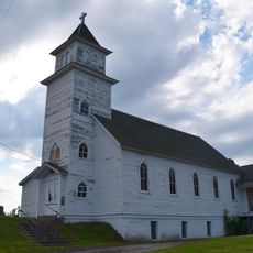
Ontonagon County, Administrative division in Michigan, United States

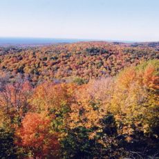
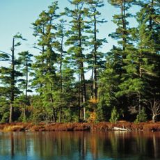
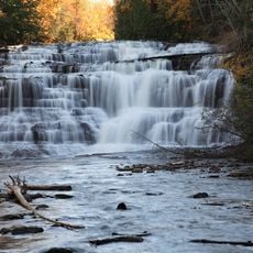
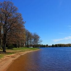
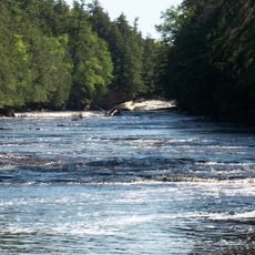
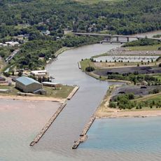
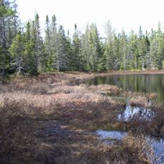
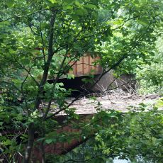
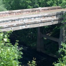
Ontonagon County is an administrative division in Michigan's Upper Peninsula along Lake Superior's shore, featuring dense forests, river systems, and the Porcupine Mountains Wilderness State Park. The territory contains hundreds of square kilometers of largely undeveloped landscape with numerous waterfalls and natural features.

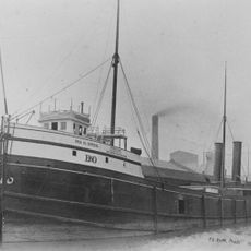
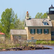
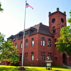
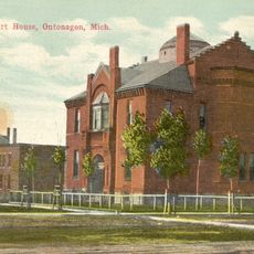
The county was established in 1843 and developed through copper mining and lumber operations that defined the local economy throughout the 1800s. These industries left lasting marks on the region's infrastructure and settlement patterns.

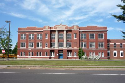
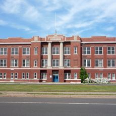
Local residents maintain strong connections to their mining and logging heritage through community gatherings and seasonal festivals held at the county courthouse.

Summer and early fall offer the best conditions for exploring, as forests become accessible and roads remain passable. Visitors should wear sturdy footwear and bring weather-resistant clothing, since the terrain is hilly and conditions can change quickly.

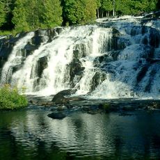
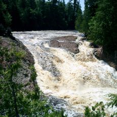
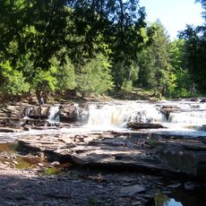
The region contains over one hundred waterfalls, with some tucked away in untouched forests and overlooked by most travelers. The North Country Trail runs through the area and connects to major hiking pathways including the Appalachian Trail system.

GPS coordinates: 46.64719,-89.32938

Latest update: December 7, 2025 19:24

Photos
Around this place
Porcupine Mountains
United States of America

Porcupine Mountains

34.8 km
Copper mining in Michigan
United States of America

Copper mining in Michigan

21.9 km
Bond Falls
United States of America

Bond Falls

30.4 km
Sylvania Wilderness
United States of America

Sylvania Wilderness

48.1 km
Agate Falls Scenic Site
United States of America

Agate Falls Scenic Site

26 km
SS Ira H. Owen
United States of America

SS Ira H. Owen

65 km
Ontonagon School
United States of America

Ontonagon School

24.7 km
Twin Lakes State Park
United States of America

Twin Lakes State Park

45.1 km
United States of America

Sturgeon River Gorge Wilderness

48.1 km
United States of America

Agate Beach

53.2 km
United States of America

O Kun de Kun Falls

13.7 km
Ontonagon Light
United States of America

Ontonagon Light

25.2 km
Great Conglomerate Falls
United States of America

Great Conglomerate Falls

55.5 km
Manido Falls
United States of America

Manido Falls

49.4 km
Nawadaha Falls
United States of America

Nawadaha Falls

49.5 km
Ontonagon Harbor Piers Historic District
United States of America

Ontonagon Harbor Piers Historic District

25.6 km
Gogebic County Courthouse
United States of America

Gogebic County Courthouse

58.4 km
Ontonagon County Courthouse
United States of America

Ontonagon County Courthouse

25.3 km
Saint Henry's Evangelical Lutheran Church and Cemetery
United States of America

Saint Henry's Evangelical Lutheran Church and Cemetery

43.6 km
Forest Route 157–Tamarack River Bridge
United States of America

Forest Route 157–Tamarack River Bridge

52 km
Bergland Administrative Site
United States of America

Bergland Administrative Site

19.9 km
Robert T. Brown Nature Sanctuary
United States of America

Robert T. Brown Nature Sanctuary

61.6 km
Planter Road – Jackson Creek Bridge
United States of America

Planter Road – Jackson Creek Bridge

51.2 km
Lake Gogebic State Park
United States of America

Lake Gogebic State Park

28.3 km
Porcupine Mountains Wilderness State Park
United States of America

Porcupine Mountains Wilderness State Park

35.7 km
Lake Gogebic
United States of America

Lake Gogebic

25.4 km
Main Street – Black River Bridge
United States of America

Main Street – Black River Bridge

54.9 km
James W. Toumey Nursery
United States of America

James W. Toumey Nursery

43.5 km
Show the full map
Reviews

Visited this place? Tap the stars to rate it and share your experience / photos with the community! Try now! You can cancel it anytime.

« Ontonagon County - Administrative division in Michigan, United States » is provided by Around Us (aroundus.com). Images and texts are derived from Wikimedia project under a Creative Commons license. You are allowed to copy, distribute, and modify copies of this page, under the conditions set by the license, as long as this note is clearly visible.

Discover hidden gems everywhere you go!

From secret cafés to breathtaking viewpoints, skip the crowded tourist spots and find places that match your style. Our app makes it easy with voice search, smart filtering, route optimization, and insider tips from travelers worldwide. Download now for the complete mobile experience.

Around Us App Screenshot

A unique approach to discovering new places

Le Figaro

All the places worth exploring

France Info

A tailor-made excursion in just a few clicks

20 Minutes