Chest opened
+${chestReward.xp} XP
Explorer
NOUVEAU ×${chestReward.collectible.quantity}
tapez pour fermer
Chest locked

Open chests in the app

Around Us is built for your phone — chests unlock when you walk, explore and capture nearby places.

Enable Location

We need your location to show you interesting places around you

Discover nearby places

Find interesting locations and hidden gems around you

Precise directions

Get accurate directions and distances to places

Your location is never shared with other users. It's only used when you tap the location button.

Great Miami River

Log in to your account

Start exploring — it's free

Trusted by 72,879 travelers worldwide

Continue with Google
Continue with Apple
or

We will send you a code to connect

By continuing, you accept our Terms and Conditions and our Privacy Policy

Check your inbox

We've sent a pincode in your inbox. Please enter the code below.

Great Miami River
Discussion Reviews 2 Photos
26.7k Popularity

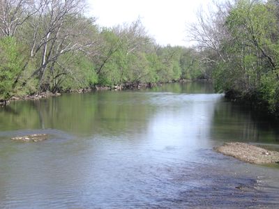
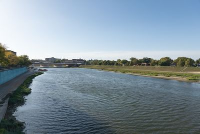
Great Miami River, River system in southwestern Ohio, United States.

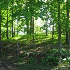
The Great Miami River is a river system that flows southward from Logan County across eight counties in Ohio. Its course creates waterways suitable for paddling, angling, and exploring the landscape on foot.

Native American peoples including the Shawnee and Miami nations relied on the river as a vital trade route and food source for centuries. European settlement and development later transformed how the waterway was used and managed.

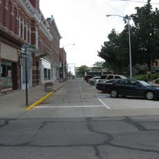
The river serves as a gathering place for local communities, where people connect through outdoor pursuits along its banks and parks. Its presence shapes how residents spend their leisure time and where families choose to spend time together.

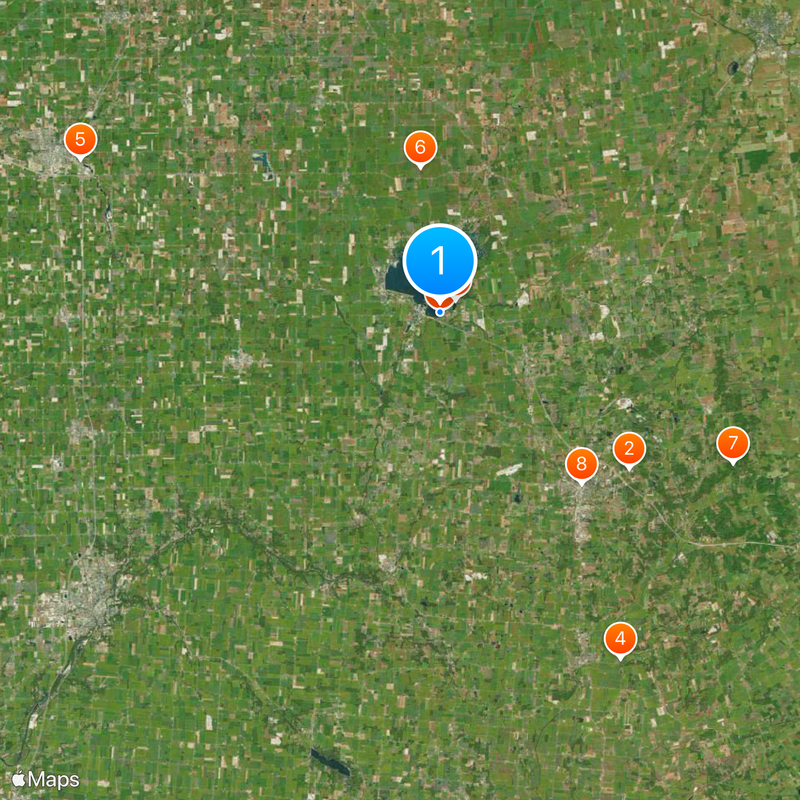
Multiple access points are scattered along the river for boats, fishing, and walking, most offering parking and facilities nearby. Water conditions vary with the seasons, so checking local information before a visit helps plan the best time for your activity.

A series of dams and levees were constructed along the river to control flooding and generate electricity through water power. These structures remain visible features that shaped both the landscape and how the river flows today.

The community of curious travelers

AroundUs brings together thousands of curated places, local tips, and hidden gems, enriched daily by 60,000 contributors worldwide.

Start exploring
Location
Location
Location
Location
Location
Location
Location
GPS coordinates
40.46778,-83.87583
Latest update
December 20, 2025 14:43
Around this place
Campbell Hill
United States of America

Campbell Hill

17.1 km
Indian Lake
United States of America

Indian Lake

56 m
Piatt Castles
United States of America

Piatt Castles

27.2 km
Neil Armstrong Air and Space Museum
United States of America

Neil Armstrong Air and Space Museum

27.2 km
J.H. Manchester Round Barn
United States of America

J.H. Manchester Round Barn

10.2 km
Zane Shawnee Caverns
United States of America

Zane Shawnee Caverns

23 km
Court Avenue
United States of America

Court Avenue

15.5 km
Dunns Pond Mound
United States of America

Dunns Pond Mound

1.4 km
Zimmerman Kame
United States of America

Zimmerman Kame

12.7 km
Logan County Courthouse
United States of America

Logan County Courthouse

15.5 km
Immaculate Conception Catholic Church
United States of America

Immaculate Conception Catholic Church

26 km
Siegenthaler-Kaestner Esker State Nature Preserve
United States of America

Siegenthaler-Kaestner Esker State Nature Preserve

26.7 km
Schine Holland Theatre
United States of America

Schine Holland Theatre

15.5 km
Lake Ridge Island Mounds
United States of America

Lake Ridge Island Mounds

2.9 km
McColly Covered Bridge
United States of America

McColly Covered Bridge

8.5 km
William Lawrence House
United States of America

William Lawrence House

15.1 km
Emanuel Lutheran Church of Montra
United States of America

Emanuel Lutheran Church of Montra

18.8 km
Anna Town Hall
United States of America

Anna Town Hall

26.7 km
Uniopolis Town Hall
United States of America

Uniopolis Town Hall

23.3 km
Martin Marmon House
United States of America

Martin Marmon House

23.6 km
Hugh T. Rinehart House
United States of America

Hugh T. Rinehart House

19.9 km
Port Jefferson School
United States of America

Port Jefferson School

24 km
Mac-O-Chee Castle
United States of America

Mac-O-Chee Castle

26.9 km
Logan County History Center
United States of America

Logan County History Center

15.9 km
Campbell Hill
United States of America

Campbell Hill

17.1 km
Knowlton Library
United States of America

Knowlton Library

15.2 km
Bickham Covered Bridge
United States of America

Bickham Covered Bridge

3.1 km
Lois Lenski
United States of America

Lois Lenski

26.6 km
Show the full map
Reviews
Share your experience

No review yet

Discussions
Start a discussion...

No discussion yet

« Great Miami River - River system in southwestern Ohio, United States » is provided by Around Us (aroundus.com). Images and texts are derived from Wikimedia project under a Creative Commons license. You are allowed to copy, distribute, and modify copies of this page, under the conditions set by the license, as long as this note is clearly visible.

Discover hidden gems everywhere you go!

From secret cafés to breathtaking viewpoints, skip the crowded tourist spots and find places that match your style. Our app makes it easy with voice search, smart filtering, route optimization, and insider tips from travelers worldwide. Download now for the complete mobile experience.

Around Us App Screenshot

A unique approach to discovering new places

Le Figaro

All the places worth exploring

France Info

A tailor-made excursion in just a few clicks

20 Minutes

Around Us
Travel Guide & Maps
Download

Send to your phone

QR Code
1

Open the camera app on your mobile.

2

Point at the QR code with your camera. A notification will appear.

3

Tap the notification to open the link.