Clinton County

Log in to your account

AroundUs is a community-driven map of interesting places, built by curious explorers like you. It grows with every review, story, and photo you share.
Connect to save your favorite spots, contribute locations, and create personalized routes.
By continuing, you accept our Terms and Conditions and our Privacy Policy
Add to collection
Map
Suggest a change
Share

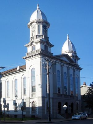
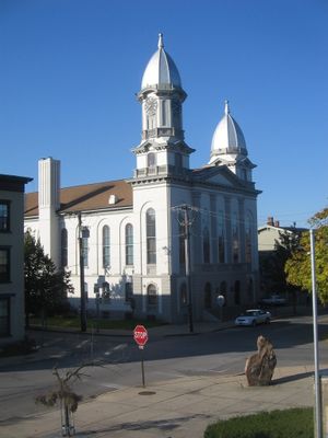
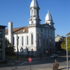
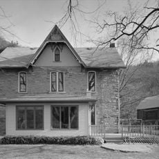
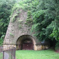
Clinton County, Administrative division in north-central Pennsylvania, United States.

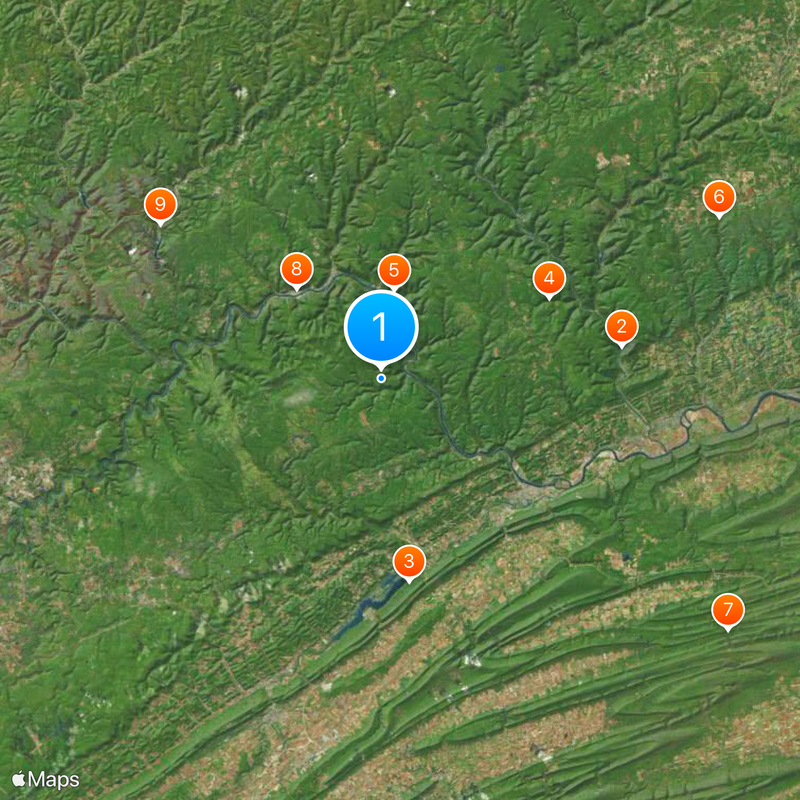
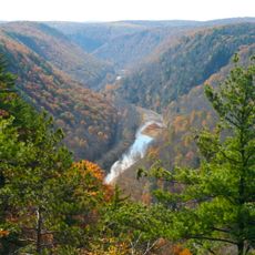
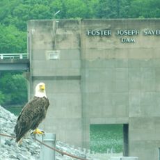
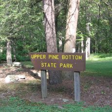
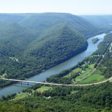
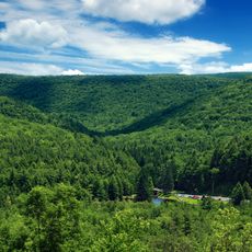
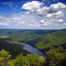
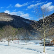
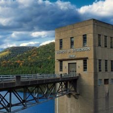
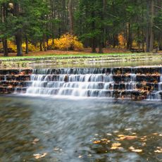
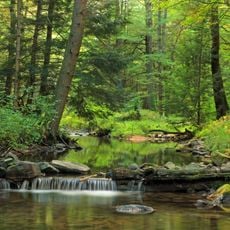
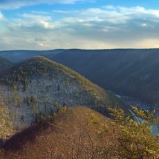
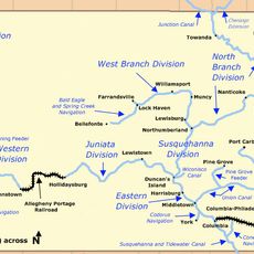
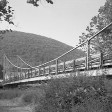
Clinton County spans a large area in north-central Pennsylvania with the West Branch Susquehanna River as its main waterway, several creeks, and mountain terrain. The territory contains five state parks that shape its natural character.

The region was originally settled by Native Americans before coming under European control following the Second Treaty of Fort Stanwix in 1784. The county itself was established in 1839.

Lock Haven University shapes the educational life of the region and connects with local communities through its programs and activities. The campus serves as a gathering place for students and contributes to social life in surrounding towns.

The area is well connected by highways including Interstate 80 and US Route 220, which provide access to larger urban areas. A car makes it easy to explore the various parks and natural regions.

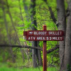
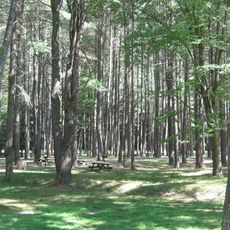
Sproul State Forest offers an extensive network of hiking trails through natural woodlands. This forest supports diverse wildlife throughout the year and remains less visited than other forest areas in the region.

Location: Pennsylvania

Inception: June 21, 1839

Capital city: Lock Haven

Shares border with: Potter County, Lycoming County, Union County, Centre County, Clearfield County, Cameron County

Website: http://clintoncountypa.com

GPS coordinates: 41.24000,-77.64000

Latest update: December 7, 2025 09:26

Photos
Around this place
Show the full map
Pine Creek Gorge
United States of America

Pine Creek Gorge

26.4 km
Bald Eagle State Park
United States of America

Bald Eagle State Park

22.3 km
Upper Pine Bottom State Park
United States of America

Upper Pine Bottom State Park

20.3 km
Hyner View State Park
United States of America

Hyner View State Park

9.7 km
Cogan House Covered Bridge
United States of America

Cogan House Covered Bridge

40.7 km
R. B. Winter State Park
United States of America

R. B. Winter State Park

46.6 km
Sproul State Forest
United States of America

Sproul State Forest

13.4 km
Kettle Creek State Park
United States of America

Kettle Creek State Park

29.4 km
Little Pine State Park
United States of America

Little Pine State Park

27.1 km
Sinnemahoning State Park
United States of America

Sinnemahoning State Park

41.3 km
Hyner Run State Park
United States of America

Hyner Run State Park

13.3 km
Ravensburg State Park
United States of America

Ravensburg State Park

36.3 km
McCalls Dam State Park
United States of America

McCalls Dam State Park

45.7 km
Golden Eagle Trail
United States of America

Golden Eagle Trail

24.6 km
Curtin Village
United States of America

Curtin Village

30.8 km
Piper Aviation Museum
United States of America

Piper Aviation Museum

21.4 km
Bald Eagle and Spring Creek Navigation
United States of America

Bald Eagle and Spring Creek Navigation

25.2 km
Forrest H. Duttlinger Natural Area
United States of America

Forrest H. Duttlinger Natural Area

32.5 km
English Center Suspension Bridge
United States of America

English Center Suspension Bridge

36.5 km
Christian Bechdel II House
United States of America

Christian Bechdel II House

20.4 km
Nathan Harvey House
United States of America

Nathan Harvey House

19.4 km
Heisey House
United States of America

Heisey House

20.3 km
Water Street District
United States of America

Water Street District

19.6 km
Isaac A. Packer Farm
United States of America

Isaac A. Packer Farm

16.4 km
Farrandsville Iron Furnace
United States of America

Farrandsville Iron Furnace

12.8 km
Halfway Lake
United States of America

Halfway Lake

46.8 km
Logan Mills Covered Bridge
United States of America

Logan Mills Covered Bridge

33.7 km
Rich-McCormick Woolen Factory
United States of America

Rich-McCormick Woolen Factory

23.8 km
Show the full map
Reviews

Visited this place? Tap the stars to rate it and share your experience / photos with the community! Try now! You can cancel it anytime.

« Clinton County - Administrative division in north-central Pennsylvania, United States » is provided by Around Us (aroundus.com). Images and texts are derived from Wikimedia project under a Creative Commons license. You are allowed to copy, distribute, and modify copies of this page, under the conditions set by the license, as long as this note is clearly visible.

Discover hidden gems everywhere you go!

From secret cafés to breathtaking viewpoints, skip the crowded tourist spots and find places that match your style. Our app makes it easy with voice search, smart filtering, route optimization, and insider tips from travelers worldwide. Download now for the complete mobile experience.

Around Us App Screenshot

A unique approach to discovering new places

Le Figaro

All the places worth exploring

France Info

A tailor-made excursion in just a few clicks

20 Minutes