Chest opened
+${chestReward.xp} XP
Explorer
NOUVEAU ×${chestReward.collectible.quantity}
tapez pour fermer
Chest locked

Open chests in the app

Around Us is built for your phone — chests unlock when you walk, explore and capture nearby places.

Enable Location

We need your location to show you interesting places around you

Discover nearby places

Find interesting locations and hidden gems around you

Precise directions

Get accurate directions and distances to places

Your location is never shared with other users. It's only used when you tap the location button.

Saint Croix River

Log in to your account

Start exploring — it's free

Trusted by 72,886 travelers worldwide

Continue with Google
Continue with Apple
or

We will send you a code to connect

By continuing, you accept our Terms and Conditions and our Privacy Policy

Check your inbox

We've sent a pincode in your inbox. Please enter the code below.

Saint Croix River
Discussion Reviews 3 Photos
31.9k Popularity

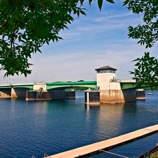
Saint Croix River, River tributary between Wisconsin and Minnesota, United States.

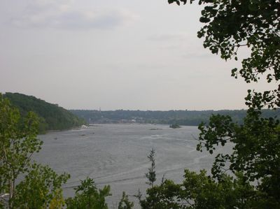
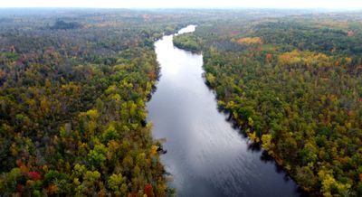
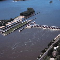
The Saint Croix River is a waterway flowing between Wisconsin and Minnesota, stretching 164 miles from Douglas County to its meeting point with the Mississippi at Prescott. The flow passes through varied terrain with forests and bank zones that shape the valley character.

The waterway received federal protection in 1968 as one of the first eight rivers designated under the National Wild and Scenic Rivers Act. This status recognized its importance for preserving natural habitats and water quality.

The river served as a major trade route for Dakota and Ojibwe peoples, connecting two important waterways that shaped their commerce and movement.

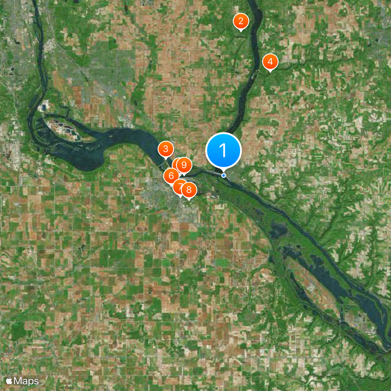
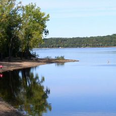
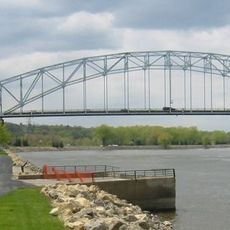
The waterway can be explored by boat, with several access points along the valley. The best time to visit is during warmer months when water levels remain stable and navigation is easier.

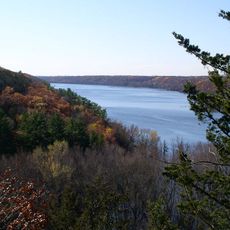
The waterway cuts deep gorges through Interstate Park, revealing rock formations that are hundreds of millions of years old. These exposed layers tell the geological story of the region.

The community of curious travelers

AroundUs brings together thousands of curated places, local tips, and hidden gems, enriched daily by 60,000 contributors worldwide.

Start exploring
Location
Location
Location
Location
Location
Location
Location
GPS coordinates
44.74580,-92.80270
Latest update
December 20, 2025 00:55
Around this place
Afton State Park
United States of America

Afton State Park

13.1 km
Lock and Dam No. 2
United States of America

Lock and Dam No. 2

5.4 km
Kinnickinnic State Park
United States of America

Kinnickinnic State Park

10.2 km
Hastings High Bridge
United States of America

Hastings High Bridge

4 km
Fasbender Clinic
United States of America

Fasbender Clinic

4.8 km
William G. LeDuc House
United States of America

William G. LeDuc House

4.3 km
Ramsey Mill and Old Mill Park
United States of America

Ramsey Mill and Old Mill Park

3.8 km
Hastings Rail Bridge
United States of America

Hastings Rail Bridge

3.6 km
Prescott Drawbridge
United States of America

Prescott Drawbridge

379 m
Cordenio Severance House
United States of America

Cordenio Severance House

14 km
East Second Street Commercial Historic District
United States of America

East Second Street Commercial Historic District

3.8 km
Chimney Rock Scientific and Natural Area
United States of America

Chimney Rock Scientific and Natural Area

14 km
VanDyke–Libby House
United States of America

VanDyke–Libby House

4 km
Rudolph Latto House
United States of America

Rudolph Latto House

3.8 km
Dakota County Courthouse
United States of America

Dakota County Courthouse

3.9 km
Cross of Christ Lutheran Church
United States of America

Cross of Christ Lutheran Church

17.2 km
First Presbyterian Church
United States of America

First Presbyterian Church

4 km
Norrish House
United States of America

Norrish House

4.2 km
West Second Street Residential Historic District
United States of America

West Second Street Residential Historic District

4.2 km
Hastings Methodist Episcopal Church
United States of America

Hastings Methodist Episcopal Church

4 km
Ignatius Eckert House
United States of America

Ignatius Eckert House

4.3 km
John P. Furber House
United States of America

John P. Furber House

12.5 km
Byron Howes House
United States of America

Byron Howes House

4 km
District No. 34 School
United States of America

District No. 34 School

1.3 km
H. S. Miller Bank
United States of America

H. S. Miller Bank

436 m
MacDonald–Todd House
United States of America

MacDonald–Todd House

4.3 km
Daniel Smith House
United States of America

Daniel Smith House

530 m
Cottage Grove Spalsh Pad
United States of America

Cottage Grove Spalsh Pad

15.8 km
Show the full map
Reviews
Share your experience

No review yet

Discussions
Start a discussion...

No discussion yet

« Saint Croix River - River tributary between Wisconsin and Minnesota, United States » is provided by Around Us (aroundus.com). Images and texts are derived from Wikimedia project under a Creative Commons license. You are allowed to copy, distribute, and modify copies of this page, under the conditions set by the license, as long as this note is clearly visible.

Discover hidden gems everywhere you go!

From secret cafés to breathtaking viewpoints, skip the crowded tourist spots and find places that match your style. Our app makes it easy with voice search, smart filtering, route optimization, and insider tips from travelers worldwide. Download now for the complete mobile experience.

Around Us App Screenshot

A unique approach to discovering new places

Le Figaro

All the places worth exploring

France Info

A tailor-made excursion in just a few clicks

20 Minutes

Around Us
Travel Guide & Maps
Download

Send to your phone

QR Code
1

Open the camera app on your mobile.

2

Point at the QR code with your camera. A notification will appear.

3

Tap the notification to open the link.