Chest opened
+${chestReward.xp} XP
Explorer
NOUVEAU ×${chestReward.collectible.quantity}
tapez pour fermer
Chest locked

Open chests in the app

Around Us is built for your phone — chests unlock when you walk, explore and capture nearby places.

Enable Location

We need your location to show you interesting places around you

Discover nearby places

Find interesting locations and hidden gems around you

Precise directions

Get accurate directions and distances to places

Your location is never shared with other users. It's only used when you tap the location button.

Log in to your account

Start exploring — it's free

Trusted by 72,946 travelers worldwide

Continue with Google
Continue with Apple
or

We will send you a code to connect

By continuing, you accept our Terms and Conditions and our Privacy Policy

Check your inbox

We've sent a pincode in your inbox. Please enter the code below.

North Georgia mountains
Discussion Reviews Photo
25.8k Popularity

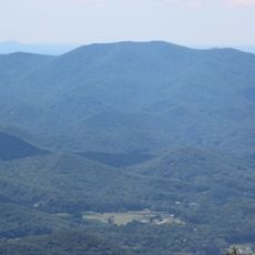
North Georgia mountains, Mountain region in northeastern Georgia, United States.

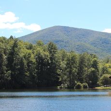
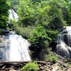
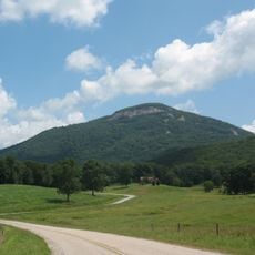
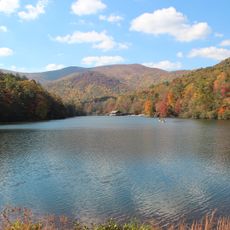
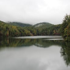
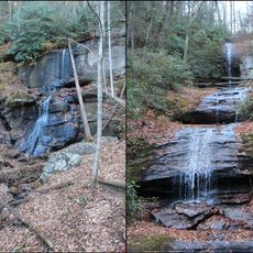
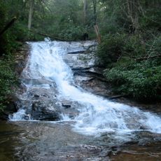
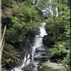
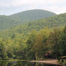
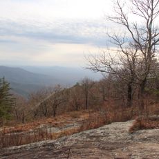
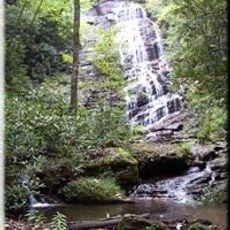
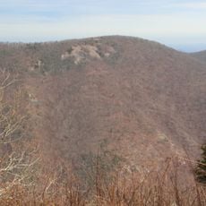
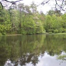
This mountain region in northeastern Georgia contains multiple state parks, lakes, and forests spread across a large protected forest area. The terrain features river valleys, ridges, and heavily forested slopes that shape the landscape.

These mountains formed about a billion years ago and were home to Native American peoples for centuries. The 1829 gold discovery triggered major settlement waves that transformed the region.

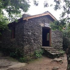
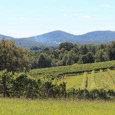
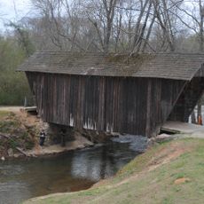
Mountain communities here preserve Southern Appalachian traditions visible in local craft markets and regional music gatherings throughout the year. You can find people practicing age-old handwork methods and traditional food preparation techniques passed down through generations.

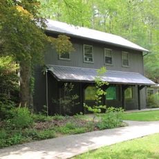
Visitor centers throughout the area offer trail maps, seasonal weather information, and guidance about lodging options from campsites to mountain inns. Checking weather conditions and season before your visit helps you plan activities and understand what trails and facilities are accessible.

The Cherokee people called this section of the Blue Ridge Mountains 'Sah-ka-na-ga,' which means Blue Smoke, referring to the misty haze that often blankets the ridges. This name captures something visitors notice themselves on foggy mornings when the mountains seem to glow.

The community of curious travelers

AroundUs brings together thousands of curated places, local tips, and hidden gems, enriched daily by 60,000 contributors worldwide.

Start exploring
GPS coordinates
34.62417,-83.79273
Latest update
December 20, 2025 16:05
Around this place
Blood Mountain
United States of America

Blood Mountain

18.4 km
Anna Ruby Falls
United States of America

Anna Ruby Falls

17.2 km
Yonah Mountain
United States of America

Yonah Mountain

7.4 km
Vogel State Park
United States of America

Vogel State Park

19.9 km
Unicoi State Park
United States of America

Unicoi State Park

12.3 km
DeSoto Falls
United States of America

DeSoto Falls

15.5 km
Nacoochee Mound
United States of America

Nacoochee Mound

10.1 km
Helton Creek Falls
United States of America

Helton Creek Falls

17.1 km
Dukes Creek
United States of America

Dukes Creek

8.7 km
Consolidated Gold Mine
United States of America

Consolidated Gold Mine

18.8 km
Blood Mountain Wilderness
United States of America

Blood Mountain Wilderness

18.9 km
Slaughter Mountain
United States of America

Slaughter Mountain

20 km
Smithgall Woods Conservation Area
United States of America

Smithgall Woods Conservation Area

7.9 km
Raven Cliffs Wilderness
United States of America

Raven Cliffs Wilderness

10.7 km
United States of America

Mark Trail Wilderness

17 km
Three Sisters
United States of America

Three Sisters

14.2 km
Horsetrough Falls
United States of America

Horsetrough Falls

18.7 km
Stovall Mill Covered Bridge
United States of America

Stovall Mill Covered Bridge

15.7 km
Wildcat Mountain
United States of America

Wildcat Mountain

11.4 km
Nacoochee Valley Historic District
United States of America

Nacoochee Valley Historic District

11.1 km
Dockery Lake Recreation Area
United States of America

Dockery Lake Recreation Area

17.7 km
Lake Trahlyta Spillway
United States of America

Lake Trahlyta Spillway

19.8 km
United States of America

Horsetrough Mountain

19.9 km
Levelland Mountain
United States of America

Levelland Mountain

15.3 km
Old White County Courthouse
United States of America

Old White County Courthouse

3.1 km
White County Jail
United States of America

White County Jail

4 km
Sautee Valley Historic District
United States of America

Sautee Valley Historic District

14.4 km
Chestatee River Diving Bell
United States of America

Chestatee River Diving Bell

20.3 km
Show the full map
Reviews
Share your experience

No review yet

Discussions
Start a discussion...

No discussion yet

« North Georgia mountains - Mountain region in northeastern Georgia, United States » is provided by Around Us (aroundus.com). Images and texts are derived from Wikimedia project under a Creative Commons license. You are allowed to copy, distribute, and modify copies of this page, under the conditions set by the license, as long as this note is clearly visible.

Discover hidden gems everywhere you go!

From secret cafés to breathtaking viewpoints, skip the crowded tourist spots and find places that match your style. Our app makes it easy with voice search, smart filtering, route optimization, and insider tips from travelers worldwide. Download now for the complete mobile experience.

Around Us App Screenshot

A unique approach to discovering new places

Le Figaro

All the places worth exploring

France Info

A tailor-made excursion in just a few clicks

20 Minutes

Around Us
Travel Guide & Maps
Download

Send to your phone

QR Code
1

Open the camera app on your mobile.

2

Point at the QR code with your camera. A notification will appear.

3

Tap the notification to open the link.