Orange, town in Franklin County, Massachusetts, United States
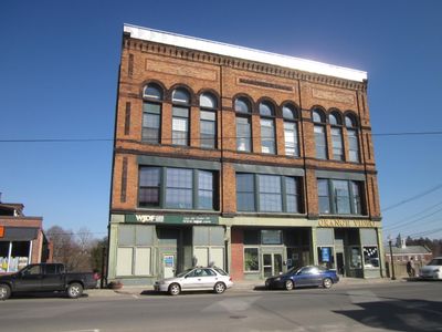
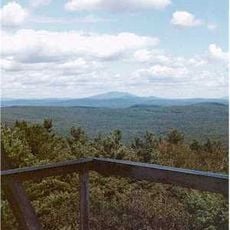
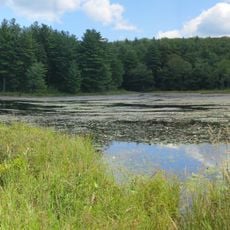
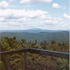
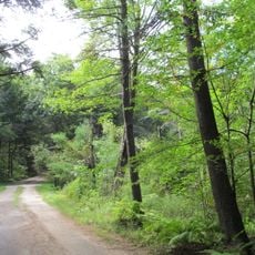
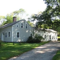
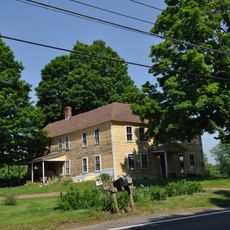
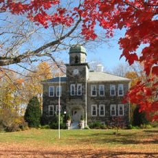
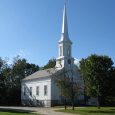
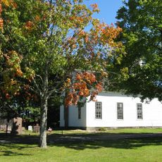
Orange is a New England town in Franklin County on the eastern edge of the region, sharing its border with Worcester County. The town covers about 36 square miles and features quiet streets, open landscapes, historic homes, and modern shops woven together.
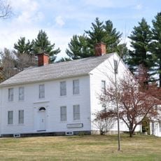
Settlement began in the early 1700s with homes along a wide street in what is now northwest Athol, drawing newcomers from surrounding areas. The district was officially formed in 1783, and by 1810 it achieved full town status under the name of William, Prince of Orange.
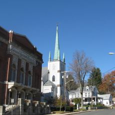
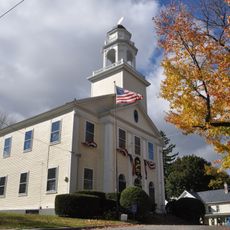
The name Orange comes from William, Prince of Orange, reflecting early colonial roots that shaped the settlement. Today the town maintains a strong community spirit through regular gatherings, local events, and a blend of historic buildings alongside modern shops that visitors notice while walking through.
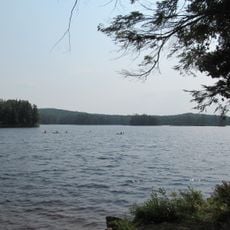
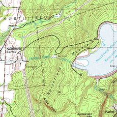
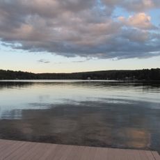
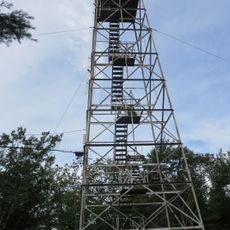
Orange Municipal Airport serves flight training and parachuting, especially during warmer months when activity picks up. Lake Mattawa provides swimming, boating, and fishing with easy access via a sandy beach and boat ramp for all experience levels.
Orange was home to the first automobile factory in the United States, built in 1900 to produce Grout steam-powered cars. The town also became known for the New Home Sewing Machine Company, which manufactured millions of machines during the late 1800s.
The community of curious travelers
AroundUs brings together thousands of curated places, local tips, and hidden gems, enriched daily by 60,000 contributors worldwide.