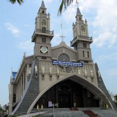
Ninh Bình, Province in northern Vietnam
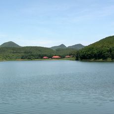
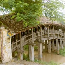
Ninh Bình is a province in northern Vietnam situated between the Red River and the Ma River across limestone formations and river valleys. The landscape shows rice paddies in flat plains and steep cliffs rising above the water.
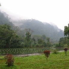
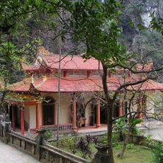
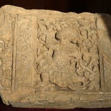
The region served as the first capital of Vietnam during the Dinh and Le dynasties and the Hoa Lu citadel stood from 968 to 1009. Later the area lost its political importance when the capital moved to Thang Long.
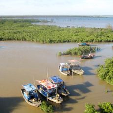
Farmers plant rice across wide fields and rely on water buffalo during planting season as they have done for generations. Many families earn a living by fishing in the rivers and selling their catch at small markets along the banks.
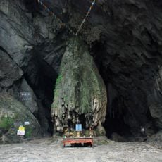
Trains run regularly from the station to the north and south of the country connecting the province with Hanoi and other cities. Boats take visitors through the cave network at Trang An with trips usually lasting two to three hours.
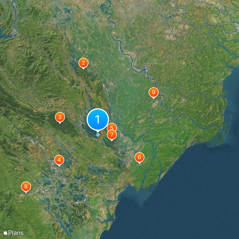
A rescue center in Cuc Phuong National Park houses more than 180 primates and works to protect threatened species. The facility cares for 15 different species native to the forests of the region.
Location: Vietnam
Inception: December 26, 1991
Capital city: Hoa Lư
Elevation above the sea: 33 m
Shares border with: Hà Nam, Thanh Hóa, Hòa Bình, Nam Định
Website: http://ninhbinh.gov.vn
GPS coordinates: 20.25000,105.83333
Latest update: December 4, 2025 19:05
Vietnam extends more than 1,000 miles (1,600 kilometers) from mountain regions in the north to the Mekong Delta in the south, offering travelers a wide range of natural and historical sites beyond urban centers. The country includes Buddhist temples like Bai Dinh and Thien Mu Pagoda, cave systems such as Son Doong and Hang En, and rice terraces at Y Ty and Hoang Su Phi. Geographic features span from limestone formations in Ninh Binh to coastal areas at Phu Quoc and Ly Son islands, and waterfalls at Ban Gioc along the Chinese border. Historical sites document different periods of Vietnamese history. The Imperial Citadel of Thang Long in Hanoi preserves royal palace remains, while Po Nagar Cham Towers in Nha Trang date to the 7th century. My Son Sanctuary in Quang Nam holds temple ruins from the Champa civilization, and Cu Chi Tunnels near Ho Chi Minh City served as an underground network during the Vietnam War. The Mekong Delta in the south consists of waterways, floating markets and traditional villages, while Mui Ne sand dunes and Lang Co Beach present different coastal landscapes.
Perfume Pagoda
42 km
Cuc Phuong National Park
24.6 km
Citadel of the Hồ Dynasty
30.6 km
Tràng An
8.6 km
Phát Diệm Cathedral
31.1 km
Tam Cốc-Bích Động
9.3 km
Lam Kinh
57.1 km
Pho Minh Temple
41.3 km
Cathedral of the Queen of the Rosary, Xuân Trường
52.3 km
Basilica of Immaculate Conception, Phu Nhai
52.2 km
Bich Dong Pagoda
9.2 km
Basilique de l'Immaculée-Conception de Kiện Khê
28.6 km
Động Hương Tích
41.7 km
Xuan Thuy National Park
71.4 km
Chau Son Holy Mother Monastery
14.5 km
Nhat Tru pagoda
8.9 km
Thanh Hoa Stadium
50.6 km
Sacred Heart Cathedral of Thái Bình
57.9 km
Vinh Lang stele
57.1 km
Doi Son pagoda
40.2 km
Ninh Binh Stadium
14.2 km
Noi temple
72.2 km
Dong Chuong Lake
4.4 km
Tam Cốc – Bích Động
9.5 km
Quan Phuong covered bridge
45.7 km
Temple of Literature of Hung Yen
51.1 km
Thien Cung Cave
9.3 km
Thái miếu nhà Hậu Lê
51.8 kmReviews
Visited this place? Tap the stars to rate it and share your experience / photos with the community! Try now! You can cancel it anytime.
Discover hidden gems everywhere you go!
From secret cafés to breathtaking viewpoints, skip the crowded tourist spots and find places that match your style. Our app makes it easy with voice search, smart filtering, route optimization, and insider tips from travelers worldwide. Download now for the complete mobile experience.
A unique approach to discovering new places❞
— Le Figaro
All the places worth exploring❞
— France Info
A tailor-made excursion in just a few clicks❞
— 20 Minutes