Enable Location

We need your location to show you interesting places around you

Discover nearby places

Find interesting locations and hidden gems around you

Precise directions

Get accurate directions and distances to places

Your location is never shared with other users. It's only used when you tap the location button.

Châu Thành

Log in to your account

Start exploring — it's free

Trusted by 62,376 travelers worldwide

Continue with Google
Continue with Apple
or

We will send you a code to connect

By continuing, you accept our Terms and Conditions and our Privacy Policy

Check your inbox

We've sent a pincode in your inbox. Please enter the code below.

Châu Thành

Châu Thành, Rural district in An Giang Province, Vietnam.

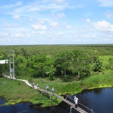
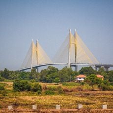
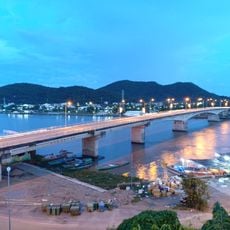
Châu Thành is a rural district in An Giang Province located in the Mekong Delta, characterized by flat land crisscrossed by the Hậu River and its tributaries. The district spreads across smaller settlements and hamlets linked by roads and waterways, with the town of An Châu serving as the main hub.

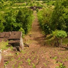
The district was formed in 1979 when an administrative area was divided into two separate districts. Since then, the area has developed into a major agricultural center for the broader delta region.

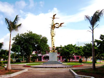
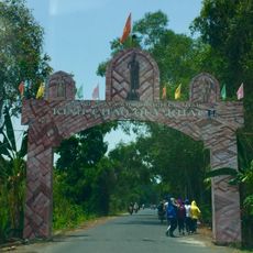
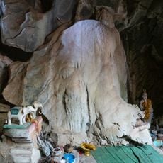
The district is home to several ethnic communities—Vietnamese, Khmer Krom, Cham, and Hoa—whose daily practices and beliefs shape local life. You can observe these traditions in local rituals, homes, and community celebrations throughout the hamlets.

The best time to visit is outside the monsoon months, when roads and waterways are easily accessible. Local boats and motorcycles are popular ways to navigate between the scattered villages and fields.

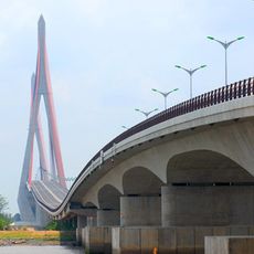
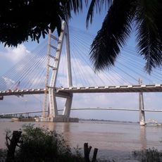
The area is shaped by a dense network of canals and waterways that shape the landscape and daily life more than roads do. Many villages rely on water for transport, creating a unique relationship between people and rivers.

The community of curious travelers

AroundUs brings together thousands of curated places, local tips, and hidden gems, enriched daily by 60,000 contributors worldwide.

Start exploring
Location
Elevation above the sea
2 m
GPS coordinates
10.43333,105.27917
Latest update
December 8, 2025 13:40
« Châu Thành - Rural district in An Giang Province, Vietnam » is provided by Around Us (aroundus.com). Images and texts are derived from Wikimedia project under a Creative Commons license. You are allowed to copy, distribute, and modify copies of this page, under the conditions set by the license, as long as this note is clearly visible.

Discover hidden gems everywhere you go!

From secret cafés to breathtaking viewpoints, skip the crowded tourist spots and find places that match your style. Our app makes it easy with voice search, smart filtering, route optimization, and insider tips from travelers worldwide. Download now for the complete mobile experience.

Around Us App Screenshot

A unique approach to discovering new places

Le Figaro

All the places worth exploring

France Info

A tailor-made excursion in just a few clicks

20 Minutes

Around Us
Travel Guide & Maps
Download

Send to your phone

QR Code
1

Open the camera app on your mobile.

2

Point at the QR code with your camera. A notification will appear.

3

Tap the notification to open the link.