Enable Location

We need your location to show you interesting places around you

Discover nearby places

Find interesting locations and hidden gems around you

Precise directions

Get accurate directions and distances to places

Your location is never shared with other users. It's only used when you tap the location button.

Log in to your account

Start exploring — it's free

Trusted by 62,059 travelers worldwide

Continue with Google
Continue with Apple
or

We will send you a code to connect

By continuing, you accept our Terms and Conditions and our Privacy Policy

Check your inbox

We've sent a pincode in your inbox. Please enter the code below.

Quảng Xương, Rural district in Thanh Hóa Province, Vietnam.

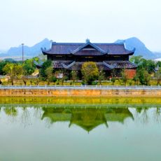
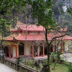
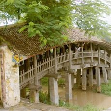
Quảng Xương is a rural district in Thanh Hóa Province, organized around Tân Phong as its administrative center on flat terrain. The area combines farmland with waterways and consists of several villages linked by a network of roads.

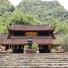
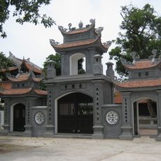
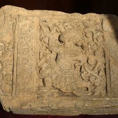
The district developed through successive Vietnamese dynasties, shaping its current boundaries and administrative structure. This long evolution determined how villages are arranged and how people relate to the land and water.

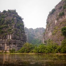
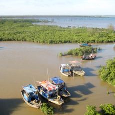
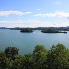
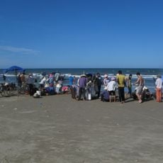
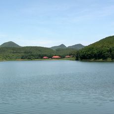
Local residents practice traditional farming and fishing that shape daily life in this region. These activities tie communities to seasonal rhythms and the waterways that run through the delta.

The area is easy to navigate with roads connecting villages and linking to local markets throughout. Visitors should note that flat terrain makes travel straightforward, while proximity to waterways affects the best timing for exploring.

The district displays a distinctive pattern where settlements, farmland, and waterways are interwoven following traditional Vietnamese planning principles. This arrangement allows residents to draw from both agriculture and fishing in their daily lives.

The community of curious travelers

AroundUs brings together thousands of curated places, local tips, and hidden gems, enriched daily by 60,000 contributors worldwide.

Start exploring
Location
Capital city
Tân Phong
Elevation above the sea
4 m
GPS coordinates
19.73033,105.78183
Latest update
December 7, 2025 10:06
« Quảng Xương - Rural district in Thanh Hóa Province, Vietnam » is provided by Around Us (aroundus.com). Images and texts are derived from Wikimedia project under a Creative Commons license. You are allowed to copy, distribute, and modify copies of this page, under the conditions set by the license, as long as this note is clearly visible.

Discover hidden gems everywhere you go!

From secret cafés to breathtaking viewpoints, skip the crowded tourist spots and find places that match your style. Our app makes it easy with voice search, smart filtering, route optimization, and insider tips from travelers worldwide. Download now for the complete mobile experience.

Around Us App Screenshot

A unique approach to discovering new places

Le Figaro

All the places worth exploring

France Info

A tailor-made excursion in just a few clicks

20 Minutes

Around Us
Travel Guide & Maps
Download

Send to your phone

QR Code
1

Open the camera app on your mobile.

2

Point at the QR code with your camera. A notification will appear.

3

Tap the notification to open the link.