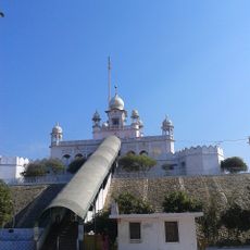
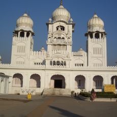
Anandpur Sahib, Religious city in Rupnagar district, India.
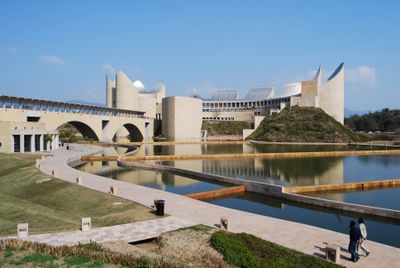
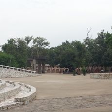
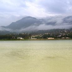
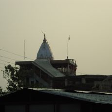
Anandpur Sahib is a settlement in Rupnagar district, India, standing at 286 meters between the Shivalik Hills and the Sutlej River, where religious structures and old defensive walls shape the landscape. The city spreads across several levels, with staircases leading to platforms that offer views over the river valley and nearby mountains.
The settlement began when the land was purchased from the Bilaspur ruler in 1665 and first called Chak Nanki, named after the founder's mother. Later construction under the next spiritual leader added fortifications, though conflict in the early 1700s temporarily interrupted habitation.
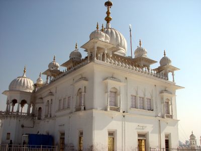
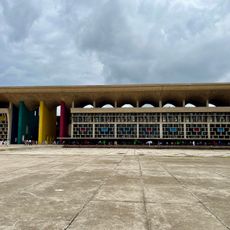
The settlement received its name Anandpur, meaning City of Bliss, reflecting a long-standing connection to spiritual renewal and inner strength. The Khalsa order emerged here in 1699, making the place a living center where pilgrims today can witness baptism ceremonies that echo the founding moment.
Reaching the city involves traveling along National Highway 503, with lodging available in government tourist huts or in a 70-bed facility at nearby Nangal. Visiting requires comfortable footwear because of the many steps, and early morning hours offer quieter conditions for exploration.
Five interconnected forts, built over ten years, safeguarded the settlement through an elaborate system of earthworks and underground tunnels. These passageways allowed movement between fortifications without exposing defenders to danger.
The community of curious travelers
AroundUs brings together thousands of curated places, local tips, and hidden gems, enriched daily by 60,000 contributors worldwide.