Enable Location

We need your location to show you interesting places around you

Discover nearby places

Find interesting locations and hidden gems around you

Precise directions

Get accurate directions and distances to places

Your location is never shared with other users. It's only used when you tap the location button.

Log in to your account

Start exploring — it's free

Trusted by 62,562 travelers worldwide

Continue with Google
Continue with Apple
or

We will send you a code to connect

By continuing, you accept our Terms and Conditions and our Privacy Policy

Check your inbox

We've sent a pincode in your inbox. Please enter the code below.

Chhatarpur district

Chhatarpur district, Administrative division in Madhya Pradesh, India.

Chhatarpur is an administrative district in Madhya Pradesh that spans a large area in central India, bordered by several neighboring districts including those in Uttar Pradesh. The territory is divided into smaller administrative divisions that center on the main town.

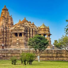
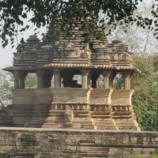
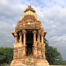
The territory was founded in the 16th century by the Bundela Rajputs, who established a kingdom that later gave its name to the administrative region after Raja Chhatrasal. These origins continue to shape the area's history.

The local population speaks Bundeli, a language that shapes daily communication and cultural expression throughout the region's communities.

The district is administered from its main town, where local authorities coordinate public services and development projects for the surrounding region. Visitors will find administrative offices and local facilities that support daily operations across the territory.

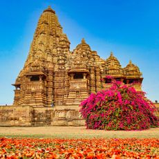
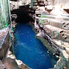
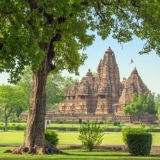
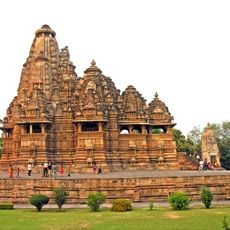
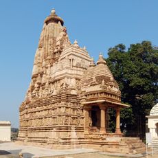
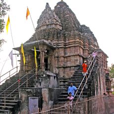
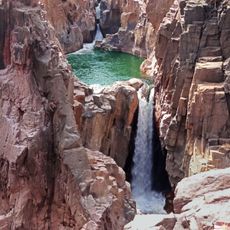
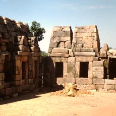
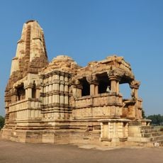
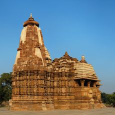
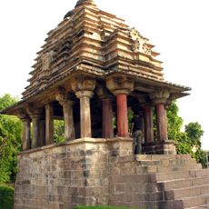
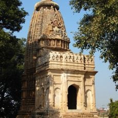
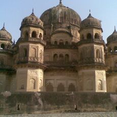
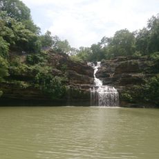
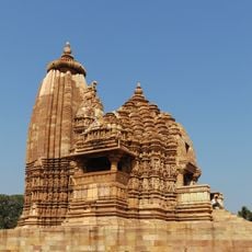
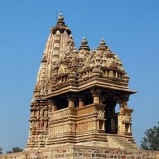
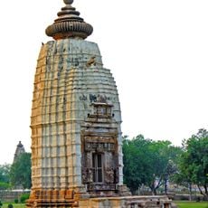
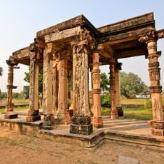
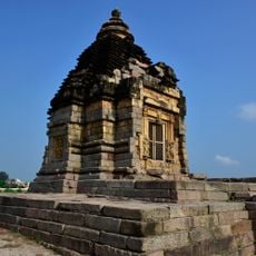
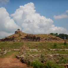
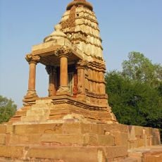
Raneh Falls is a notable natural feature where water plunges through a narrow rocky gorge, creating a dramatic landscape within the district. The waterfall sits among temples and historic sites that reflect the region's spiritual heritage.

The community of curious travelers

AroundUs brings together thousands of curated places, local tips, and hidden gems, enriched daily by 60,000 contributors worldwide.

Start exploring
Location
Capital city
Chhatarpur
Shares border with
Jhansi district, Panna district, Tikamgarh district
GPS coordinates
24.91571,79.58221
Latest update
December 22, 2025 10:15
« Chhatarpur district - Administrative division in Madhya Pradesh, India » is provided by Around Us (aroundus.com). Images and texts are derived from Wikimedia project under a Creative Commons license. You are allowed to copy, distribute, and modify copies of this page, under the conditions set by the license, as long as this note is clearly visible.

Discover hidden gems everywhere you go!

From secret cafés to breathtaking viewpoints, skip the crowded tourist spots and find places that match your style. Our app makes it easy with voice search, smart filtering, route optimization, and insider tips from travelers worldwide. Download now for the complete mobile experience.

Around Us App Screenshot

A unique approach to discovering new places

Le Figaro

All the places worth exploring

France Info

A tailor-made excursion in just a few clicks

20 Minutes

Around Us
Travel Guide & Maps
Download

Send to your phone

QR Code
1

Open the camera app on your mobile.

2

Point at the QR code with your camera. A notification will appear.

3

Tap the notification to open the link.