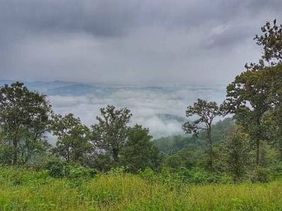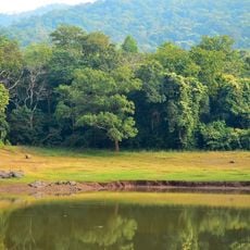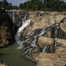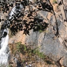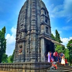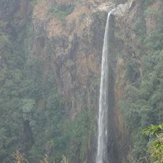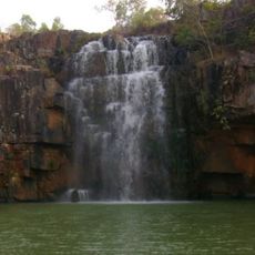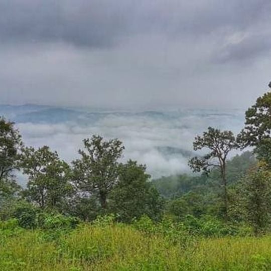
Saranda forest, Dense natural forest in West Singhbhum district, India
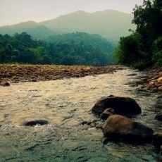
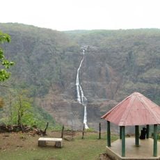
Saranda forest covers about 820 km² of hilly terrain in West Singhbhum, East Singhbhum and Saraikela districts of Jharkhand. Sal (Shorea robusta) is its most important tree; although sal sheds its leaves in early summer, the undergrowth stays evergreen with mango, jamun, jackfruit, piar, mahua, kusum, tilai, harin hara, gular and asan. The perennial Karo and Koina rivers run through the forest.
Saranda was the private hunting reserve of the Singh Deo family, the erstwhile rulers of Saraikela, before the forest came under the reserved forest category. The area later saw disturbance from Maoist and Naxal influences, which have subsided in recent years.
Saranda (Serengda) means "700 hills" in the local language, a name that describes the terrain itself. The forest lies in the hilly country of West Singhbhum, East Singhbhum and Saraikela district, and the village of Thalkobad sits at 550 m in its heart, about 89 km from Chakradharpur and 160 km from Jamshedpur.
The forest is accessible through villages like Thalkobad, which serve as natural entry points and connect to larger cities like Jamshedpur. The best time to visit is during dry months when forest paths are easiest to navigate.
Saranda (Serengda) means "700 hills" in the local language, not 800 as some summaries state. The forest's sal trees are deciduous and shed leaves in early summer, yet the undergrowth stays evergreen with mango, jamun, jackfruit and piar. Iron-ore mining towns Gua, Chiria, Kiriburu and Noamundi lie within the forest area.
The community of curious travelers
AroundUs brings together thousands of curated places, local tips, and hidden gems, enriched daily by 94,466 contributors worldwide.