Micang Shan, mountain range
Location: Nanjiang County
Elevation above the sea: 2,090 m
GPS coordinates: 32.63110,106.82203
Latest update: March 22, 2025 11:34
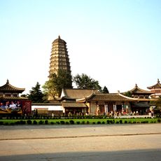
Famen Temple
225 km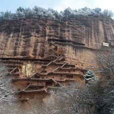
Maijishan Grottoes
206 km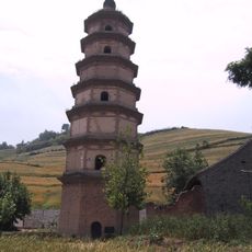
Daqin Pagoda
209.1 km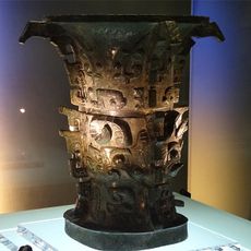
He zun
196.6 km
Hanzhong Basin
66.1 km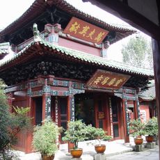
Zhang Fei Temple
142.4 km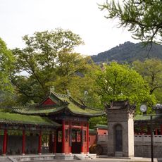
Louguantai
206.9 km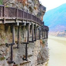
Jianmen Shudao National Park
127.1 km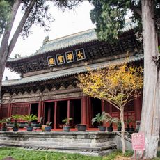
Bao'en Temple
216.5 km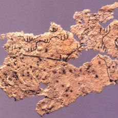
Fangmatan
208 km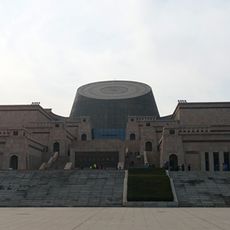
Baoji Bronze Museum
194.2 km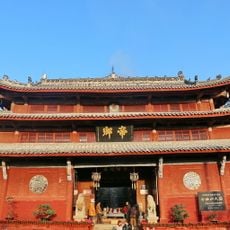
Qiqushan Temple
185.1 km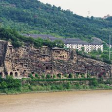
Thousands buddhas cliff
93.5 km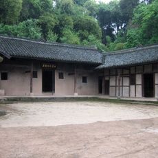
Zhu De's Former Residence
131.2 km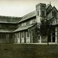
St John's Cathedral, Langzhong
141.9 km
Beishouling
197.8 km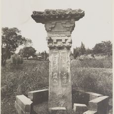
Feng Huan Que
180.1 km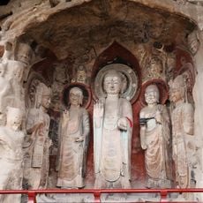
Huangze Temple
97.2 km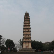
Wuliangbao Pagoda
216.4 km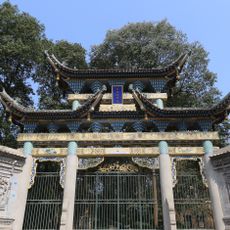
Baba Mosque
140.8 km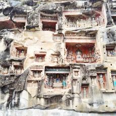
Southern Cliff Buddhist Sculptures
87.5 km
Shen Fujun Towers
176 km
Ma'an Temple
212.4 km
Yuquan Temple
213.4 km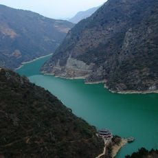
石门水库
68.1 km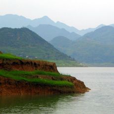
Baozhusi Dam
114.3 km
Xishenba Township
21.4 km
Li Bai Memorial Hall
217.9 kmReviews
Visited this place? Tap the stars to rate it and share your experience / photos with the community! Try now! You can cancel it anytime.
Discover hidden gems everywhere you go!
From secret cafés to breathtaking viewpoints, skip the crowded tourist spots and find places that match your style. Our app makes it easy with voice search, smart filtering, route optimization, and insider tips from travelers worldwide. Download now for the complete mobile experience.

A unique approach to discovering new places❞
— Le Figaro
All the places worth exploring❞
— France Info
A tailor-made excursion in just a few clicks❞
— 20 Minutes