Hanzhong Basin, Agricultural basin in southern Shaanxi, China
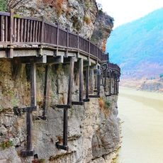
The Hanzhong Basin is an agricultural valley in southern Shaanxi situated between the Qinling Mountains to the north and the Daba Mountains to the south. It contains flat farmland crossed by several waterways, forming a continuous cultivated zone with varying widths.
The region shows traces of human settlement from roughly 600,000 years ago, with organized agriculture developing during the first centuries after Christ. These early farming techniques established the foundation for the region's long history of cultivation.
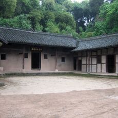
The basin has been a rice cultivation hub for generations, with irrigation systems that shaped farming practices across the region. The landscape today still reflects this agricultural legacy in its patterned fields and water channels.
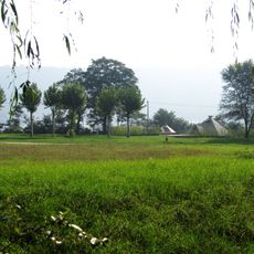
The best time to visit is during the growing season when fields are green and farming activity is visible across the landscape. The flat topography makes it easy for visitors to traverse the area by various means of transport.
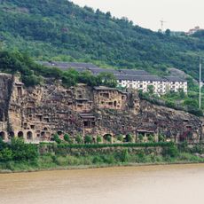
The basin features complex geological faulting structures that make it the largest faulted basin along the upper Han River system. These underground structures reveal how tectonic movements shaped the landscape you see today.
The community of curious travelers
AroundUs brings together thousands of curated places, local tips, and hidden gems, enriched daily by 60,000 contributors worldwide.