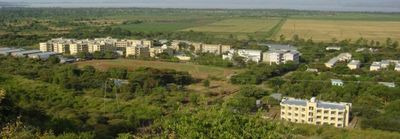
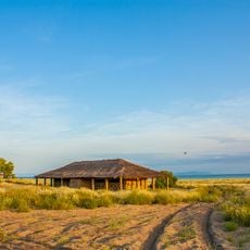
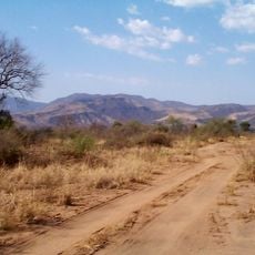
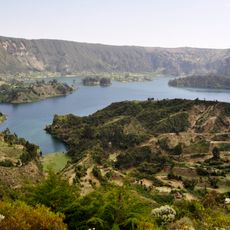
Arba Minch, Administrative center at 1285 meters elevation in southern Ethiopia.
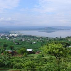
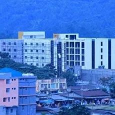
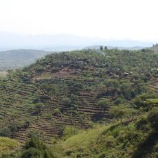
Arba Minch sits at about 1,285 meters elevation and stretches between the administrative district of Shecha in the north and the commercial zone of Sikela in the south. A paved road network connects these two sections and creates a manageable city layout.
The city was established in the early 1960s and replaced Chencha as the administrative center of the Gamo-Gofa region. This founding marked a significant shift in regional governance and development.
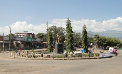
The city is home to Ethiopian Orthodox Christians, Protestants, and Muslims who coexist within its neighborhoods. Local markets display traditional goods from surrounding communities and reflect how trade connects the city to rural areas.
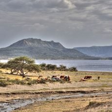
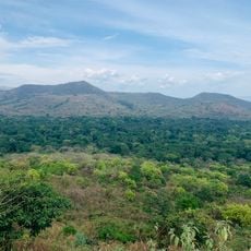
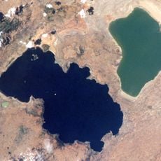
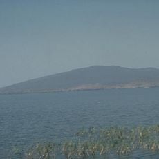
The city is easily accessible by air through daily Ethiopian Airlines flights. It serves as a natural base for exploring Nechisar National Park and Lake Chamo nearby.
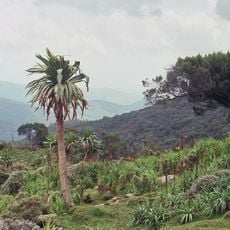
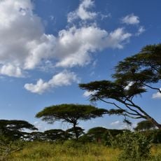
The city's name comes from forty natural springs that supply water to the area. These springs feed the local forests and create green spaces within the surrounding landscape.
Location: Gamo Zone
Elevation above the sea: 1,269 m
GPS coordinates: 6.02151,37.55398
Latest update: December 20, 2025 15:06
Ethiopia offers photographers a range of subjects from medieval architecture to geologically active zones. In the north, Lalibela features eleven churches carved from solid tuff rock during the 12th and 13th centuries, while Axum holds obelisks from the Aksumite Empire that flourished from the 1st...
Lomekwi
301.5 km
Sidama Region
126.9 km
Southwest Ethiopia Regional State
194.2 km
Omo River
248.9 km
Bale Mountains National Park
244.5 km
Koobi Fora
276.2 km
Tiya archaeological site
292.5 km
Nechisar National Park
3.5 km
Abijatta-Shalla National Park
195 km
Mago National Park
158.6 km
Wonchi
311.6 km
Sibiloi National Park
265.9 km
Lower Valley of the Omo
116.9 km
Chebera Churchura National Park
136.7 km
Yabelo Wildlife Sanctuary
155.8 km
Senkelle Swayne's Hartebeest Sanctuary
155.4 km
Adadi Mariam
308.5 km
The Gedeo Cultural Landscape
159.2 km
O'a Caldera
197.1 kmLapurr Sandstone
273 kmAwassa Kenema Stadium
152.7 kmVale Inferior do Omo
222.3 km
Konso Cultural Landscape
86.2 km
Corbetti
161.8 km
Alutu
235.6 km
Atalochulo
253.8 km
Donyiro Cliff
255.2 kmVisited this place? Tap the stars to rate it and share your experience / photos with the community! Try now! You can cancel it anytime.
Discover hidden gems everywhere you go!
From secret cafés to breathtaking viewpoints, skip the crowded tourist spots and find places that match your style. Our app makes it easy with voice search, smart filtering, route optimization, and insider tips from travelers worldwide. Download now for the complete mobile experience.
A unique approach to discovering new places❞
— Le Figaro
All the places worth exploring❞
— France Info
A tailor-made excursion in just a few clicks❞
— 20 Minutes