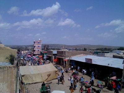
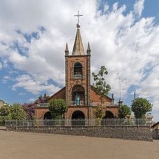
Somali Region, Administrative region in eastern Ethiopia
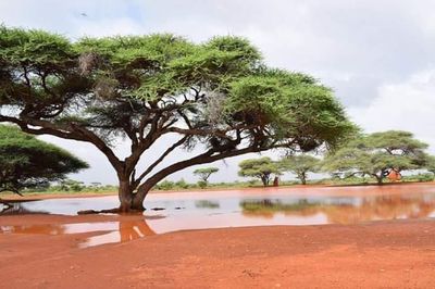
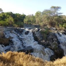
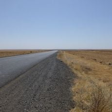
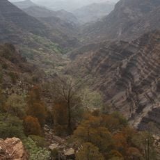
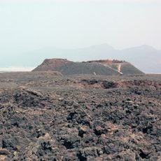
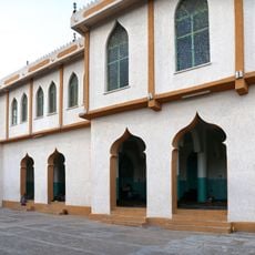
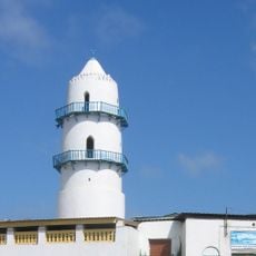
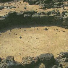
The Somali Region is an administrative area in eastern Ethiopia, stretching toward the border with Somalia and covering wide plains and dry landscapes. This large administrative unit includes many towns and villages spread across the entire territory, connected by roads and tracks.
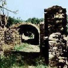
The boundaries of the area took their current shape in the late 19th century, when the Ethiopian central government expanded its control over large parts of the east. The region was later affected in the 1970s by a conflict between Ethiopia and neighboring Somalia, which left a lasting impact on the local population.
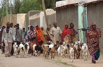
The region takes its name from the largest ethnic group living there, who have moved with livestock herds across vast deserts and semi-deserts for centuries. Visitors encounter communities whose daily life is closely tied to herding, with camels serving as transport and a source of livelihood.
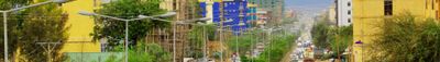
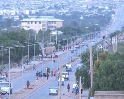
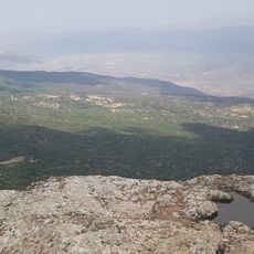
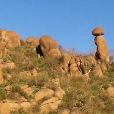
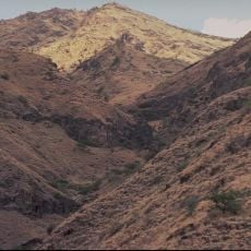
Travelers should prepare for large, open terrain with little shade and high temperatures during most of the year. The town of Jijiga, the regional capital, offers accommodations and serves as a starting point for journeys into the interior, which stretches over several days of travel.
The regional government established a working group in 2014 focused on long-term solutions for people who had to leave their homes within the area. This initiative is an example of local efforts to resettle displaced people and rebuild communities after conflicts.
The community of curious travelers
AroundUs brings together thousands of curated places, local tips, and hidden gems, enriched daily by 60,000 contributors worldwide.