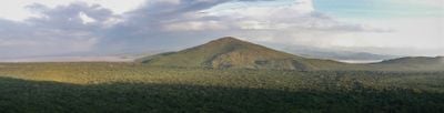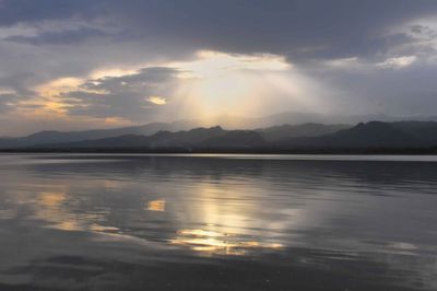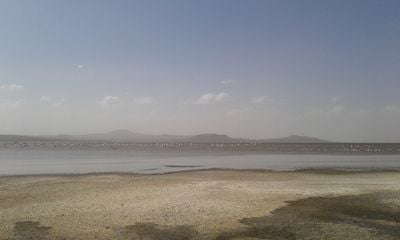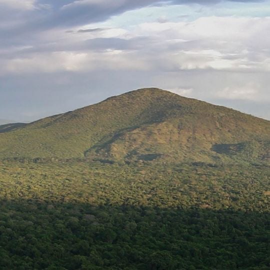
Lake Abaya, Lake in the Southern Nations, Nationalities, and Peoples' Region, Ethiopia
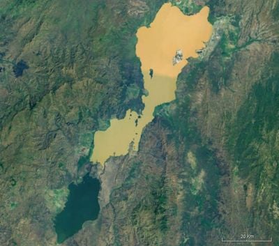
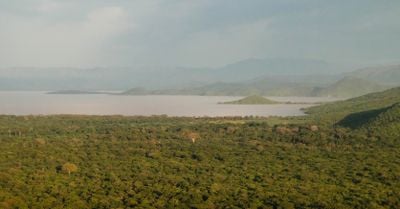
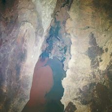
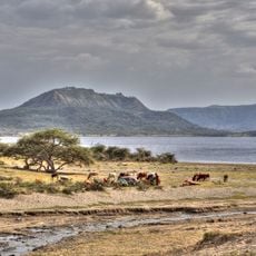
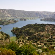
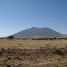
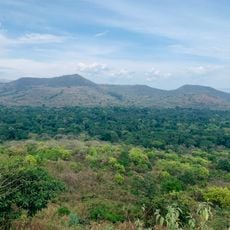
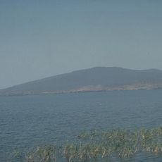
Lake Abaya is a large lake in the Southern Nations, Nationalities, and Peoples' Region of Ethiopia, set in the main Ethiopian valley east of the Guge mountains. It stretches about 37 miles (60 km) long and 12 miles (20 km) wide, with a surface area of 449 square miles (1,162 sq km), and its waters appear red due to a heavy load of suspended sediment.
The lake formed within the Ethiopian Rift Valley, a zone of tectonic activity that shaped the surrounding landscape over millions of years. In recent decades, its shores have seen the growth of fishing settlements and the establishment of protected areas nearby.
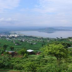
Local fishermen head out on the water in small boats, and their daily catch supports families in the villages around the lake. The shoreline is also a place where people from nearby communities come to wash clothes and let livestock drink, especially in the early morning.
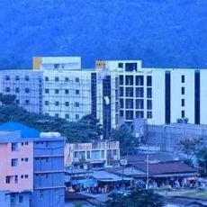
The lake is best reached from Arba Minch, which serves as a base for exploring the area, and the southern shores fall within Nechisar National Park. Visitors should plan for warm weather and bring sun protection, as shade is limited along the open shoreline.
The lake's reddish color comes from fine particles carried by its feeder rivers, and this tint can change with the seasons. Several islands dot the water, and the largest, Aruro, is home to a small community that lives by fishing and farming.
The community of curious travelers
AroundUs brings together thousands of curated places, local tips, and hidden gems, enriched daily by 94,775 contributors worldwide.