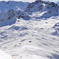
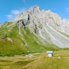
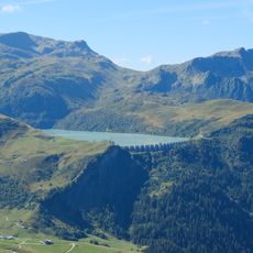
Les Aiguilles, Mountain summit in Chamonix, France
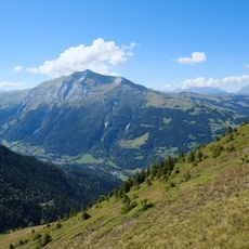
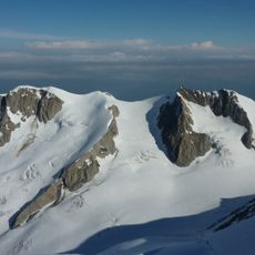
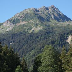
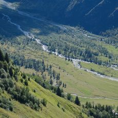
Les Aiguilles is a cluster of rock spires reaching 2318 meters in the Mont Blanc massif, characterized by steep Alpine granite formations and jagged ridges. The vertical walls and complex terrain create a technically demanding climbing area with numerous established routes.
Early 20th century mountaineers began establishing and mapping climbing routes on its faces, transforming the area into a center for Alpine training and exploration. This period established its importance in the development of modern mountaineering practices and guide training.
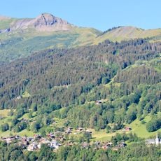
The peaks serve as a training ground where local mountain guides pass down climbing knowledge and techniques to new generations of mountaineers. They hold deep meaning in the identity of the Chamonix climbing community and its commitment to Alpine traditions.
Access demands advanced technical climbing skills and specialized equipment for rock and ice work. Hiring a certified mountain guide is essential, as these professionals understand the routes and current conditions on the terrain.
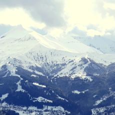
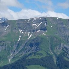
The north face transforms dramatically with the seasons, with ice falls developing in winter that dramatically increase hazards. These seasonal shifts mean climbers encounter vastly different conditions depending on when they attempt the routes.
The community of curious travelers
AroundUs brings together thousands of curated places, local tips, and hidden gems, enriched daily by 60,000 contributors worldwide.