Enable Location

We need your location to show you interesting places around you

Discover nearby places

Find interesting locations and hidden gems around you

Precise directions

Get accurate directions and distances to places

Your location is never shared with other users. It's only used when you tap the location button.

Log in to your account

Start exploring — it's free

Trusted by 62,816 travelers worldwide

Continue with Google
Continue with Apple
or

We will send you a code to connect

By continuing, you accept our Terms and Conditions and our Privacy Policy

Check your inbox

We've sent a pincode in your inbox. Please enter the code below.

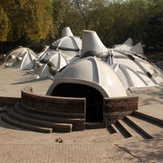
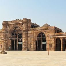
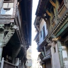
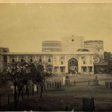
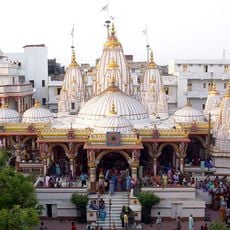
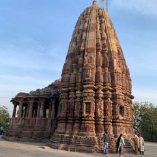
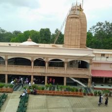
Kheda district, Administrative district in Gujarat, India.

Kheda is an administrative district in Gujarat, India, lying between two major rivers and divided into multiple smaller administrative sections. The district spans several hundred square kilometers with Nadiad serving as its main administrative hub.

The territory was part of the Bombay Presidency during colonial times and became part of Bombay State following independence in 1947. It acquired its current form when Gujarat state was created in 1960.

The population of 2.3 million inhabitants includes 86 percent Hindu and 11 percent Muslim residents, with Gujarati serving as the primary language.

The district is best explored using local transportation, as it contains numerous smaller towns and rural areas spread across the territory. Visitors should expect that services and infrastructure are concentrated around the main administrative centers.

The region contains natural gas deposits that fuel industrial operations in certain areas and contribute to economic activity. Additionally, there is an established timber processing sector with many sawmills that have operated in the area for a long time.

The community of curious travelers

AroundUs brings together thousands of curated places, local tips, and hidden gems, enriched daily by 60,000 contributors worldwide.

Start exploring
Location
Capital city
Kheda
Shares border with
Gandhinagar district, Anand district, Ahmedabad district, Vadodara district, Mahisagar district, Panchmahal district, Aravalli district
GPS coordinates
22.75000,72.68333
Latest update
December 20, 2025 14:50
« Kheda district - Administrative district in Gujarat, India » is provided by Around Us (aroundus.com). Images and texts are derived from Wikimedia project under a Creative Commons license. You are allowed to copy, distribute, and modify copies of this page, under the conditions set by the license, as long as this note is clearly visible.

Discover hidden gems everywhere you go!

From secret cafés to breathtaking viewpoints, skip the crowded tourist spots and find places that match your style. Our app makes it easy with voice search, smart filtering, route optimization, and insider tips from travelers worldwide. Download now for the complete mobile experience.

Around Us App Screenshot

A unique approach to discovering new places

Le Figaro

All the places worth exploring

France Info

A tailor-made excursion in just a few clicks

20 Minutes

Around Us
Travel Guide & Maps
Download

Send to your phone

QR Code
1

Open the camera app on your mobile.

2

Point at the QR code with your camera. A notification will appear.

3

Tap the notification to open the link.