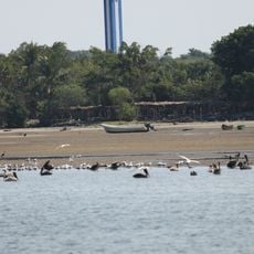
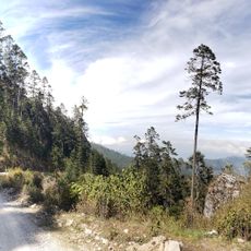
La Encrucijada, Biosphere reserve in Chiapas, Mexico.
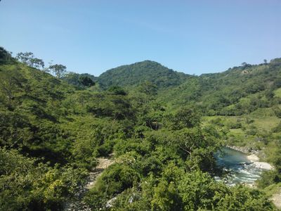
La Encrucijada is a protected reserve on the Pacific coast comprising mangrove forests, coastal lagoons, tropical woodlands, and wetland habitats. The terrain spans across several municipalities and creates a mix of different ecosystems all connected together.
The area was first established as a protected park, then gained recognition as an international biosphere reserve in the early 2000s. This change reflects how protection for the location increased over time.
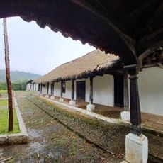
Local communities living here depend on fishing in the coastal lagoons and farming, practicing methods that have been passed down through generations. Visitors can see this way of life directly when walking through the inhabited areas and watching people work the land and water.
The area is reachable by main road, but exploring inside often requires boat travel. Visitors should be prepared for changing conditions and should bring local guides to make the most of a visit.
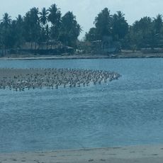
The mangrove trees here grow unusually tall and form a dense forest network that provides spawning areas for fish and other marine animals. This makes the area a critical location for species reproduction that matters to the whole region.
The community of curious travelers
AroundUs brings together thousands of curated places, local tips, and hidden gems, enriched daily by 60,000 contributors worldwide.