Chiapas, Southern administrative state in Mexico.
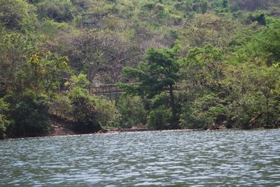
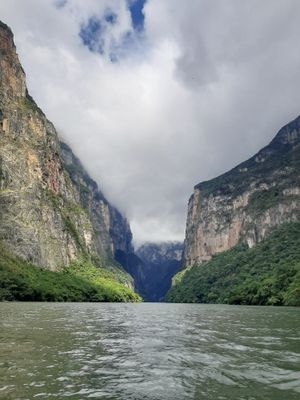
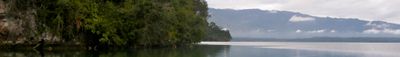
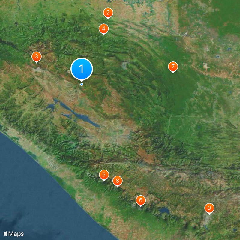
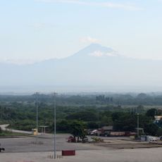
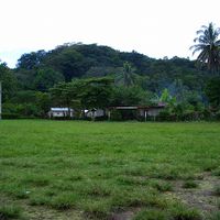
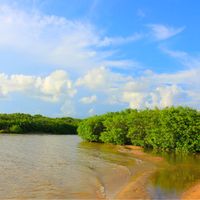
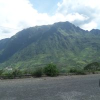
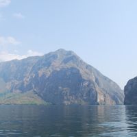
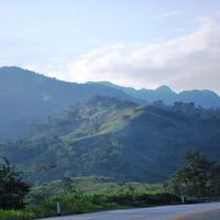
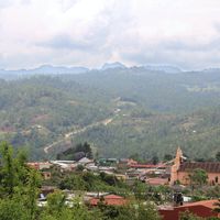
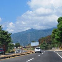
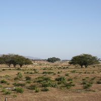
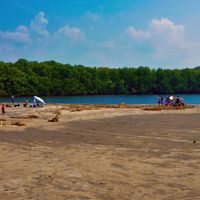
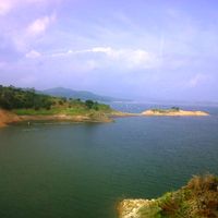
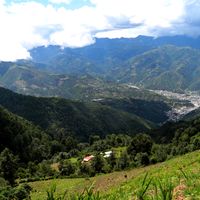
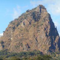
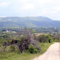
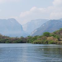
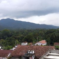
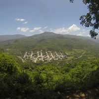
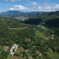
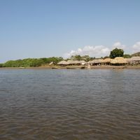
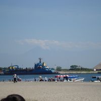
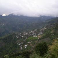
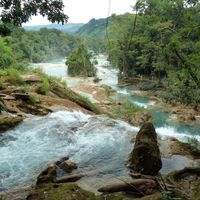
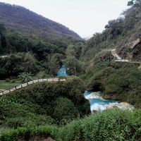
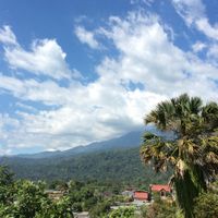
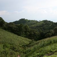
Chiapas is a state in southern Mexico that stretches from the Pacific coast to the border with Guatemala, covering lowlands, mountains and rainforest. The landscape shifts from humid coastal plains to highland plateaus where old settlements rest.
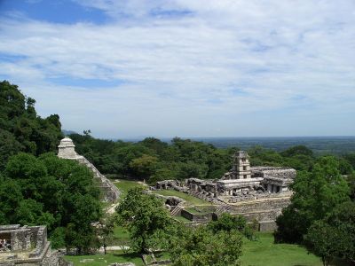
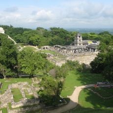
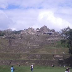
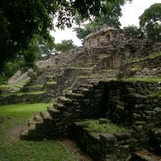
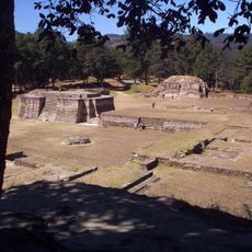
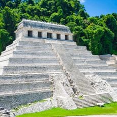
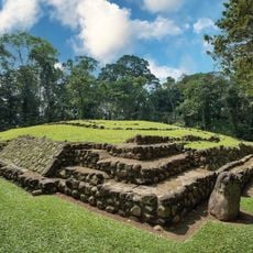
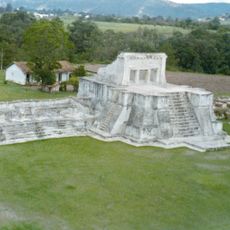
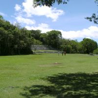
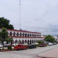
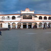
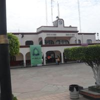
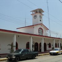
The region belonged to Maya territory for centuries and later became part of the Spanish colonial empire. After Mexico gained independence, the area joined the new state following a vote by residents.
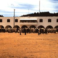
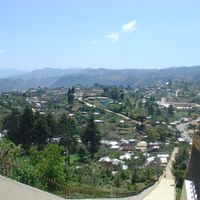
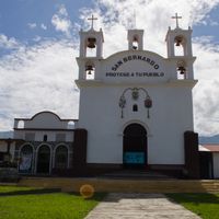
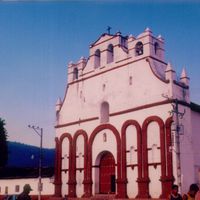
Highland towns still follow Maya customs, and on market days woven textiles in bright colors are laid out for sale. Residents often speak their own language and wear handmade clothing passed down through generations.
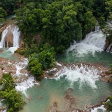
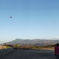
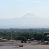
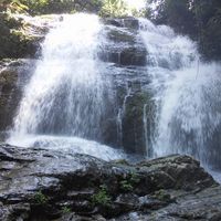
Travelers should consider the elevation changes, as some towns sit above two thousand meters and the climate can shift within hours. During the rainy season from May to October, forested areas become wet, so waterproof clothing is recommended.
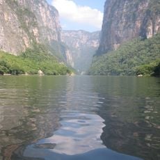
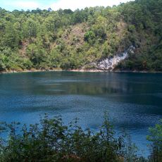
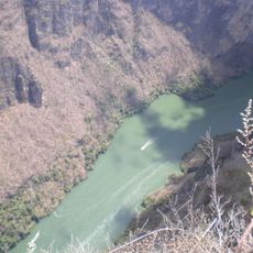
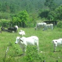
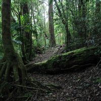
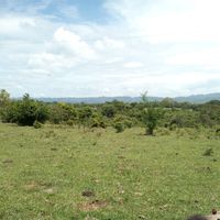
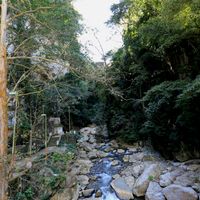
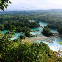
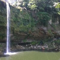
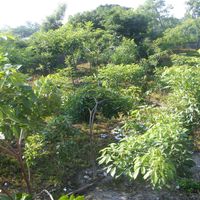
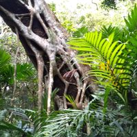
Jaguars and monkeys still live in the forests, making this one of the most biodiverse parts of Mexico. Underground rivers flow through limestone caves and emerge at the surface in places.
The community of curious travelers
AroundUs brings together thousands of curated places, local tips, and hidden gems, enriched daily by 60,000 contributors worldwide.