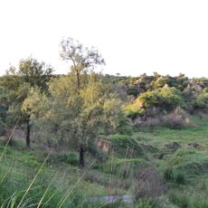
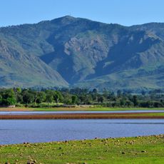
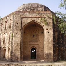
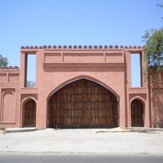
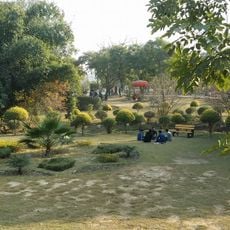
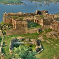
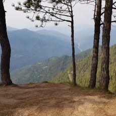
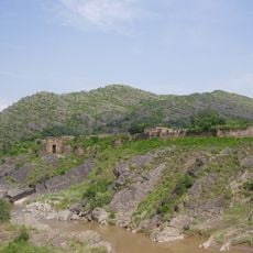
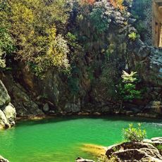
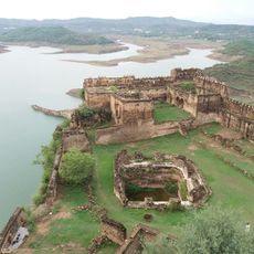
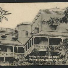
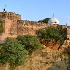
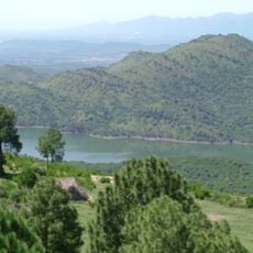
Kallar Syedan Tehsil, tehsil in Punjab, Pakistan
Location: Rawalpindi District
Inception: July 1, 2004
Capital city: Kallar Syedan
Elevation above the sea: 520 m
GPS coordinates: 33.41444,73.37861
Latest update: March 14, 2025 21:09
Mangla Dam
39 km
Pothohar Plateau
36.4 km
Lal Masjid
42.8 km
Rawal Lake
39.7 km
Rawat Fort
19.5 km
Lok Virsa;Heritage Museum
41.7 km
Ayub National Park
32.7 km
Ramkot Fort
32.4 km
Panjpeer Rocks
37.9 km
Shakarparian
41 km
Pharwala
19.5 km
Pakistan Museum of Natural History
41.3 km
Simly Dam
34.1 km
Mankiala Stupa
13.1 km
F-8, Islamabad
14.5 km
Faizabad Interchange
38.8 km
Jinnah Park , Rawalpindi
34.1 km
Neela Sandh Waterfall
27.5 km
Throchi Fort
46.3 km
Haveli Sujan Singh
37.2 km
Sangni Fort
8.2 km
Rose and Jasmine Garden
41.8 km
Lake View Park
40.2 km
Tomb of Muhammad of Ghor
26.6 km
Mangla Reservoir
38.5 km
Simly Dam Lake
35 km
Telecom Tower Islamabad
5.3 km
Pakistani Army Museum
35.7 kmReviews
Visited this place? Tap the stars to rate it and share your experience / photos with the community! Try now! You can cancel it anytime.
Discover hidden gems everywhere you go!
From secret cafés to breathtaking viewpoints, skip the crowded tourist spots and find places that match your style. Our app makes it easy with voice search, smart filtering, route optimization, and insider tips from travelers worldwide. Download now for the complete mobile experience.
A unique approach to discovering new places❞
— Le Figaro
All the places worth exploring❞
— France Info
A tailor-made excursion in just a few clicks❞
— 20 Minutes