Enable Location

We need your location to show you interesting places around you

Discover nearby places

Find interesting locations and hidden gems around you

Precise directions

Get accurate directions and distances to places

Your location is never shared with other users. It's only used when you tap the location button.

Raška District

Log in to your account

Start exploring — it's free

Trusted by 61,401 travelers worldwide

Continue with Google
Continue with Apple
or

We will send you a code to connect

By continuing, you accept our Terms and Conditions and our Privacy Policy

Check your inbox

We've sent a pincode in your inbox. Please enter the code below.

Raška District, Administrative district in southwestern Serbia.

Description

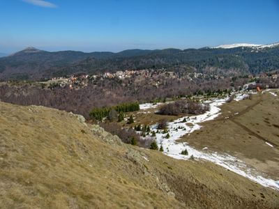
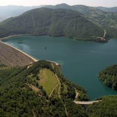
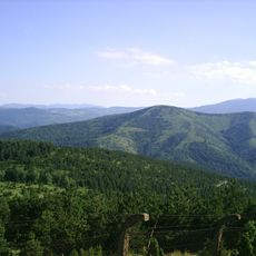
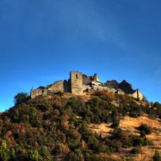
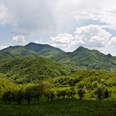
The Raška District is an administrative region in southwestern Serbia covering approximately 3,900 square kilometers. The area contains several municipalities and cities, with Kraljevo serving as its administrative hub.

History

The district was established in 1992 as a formal administrative entity following Yugoslavia's dissolution. This reorganization reflected the political shifts affecting the region during that period.

Culture

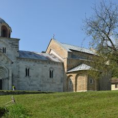
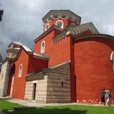
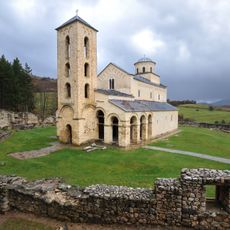
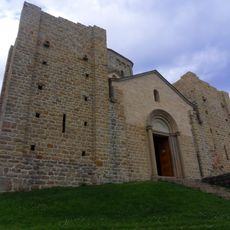
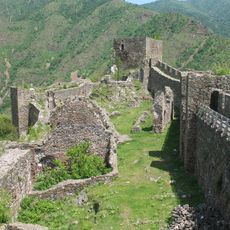
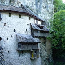
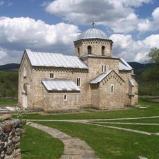
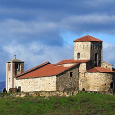
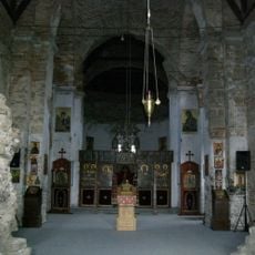
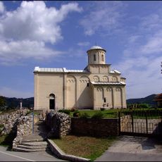
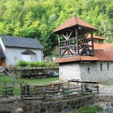
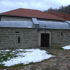
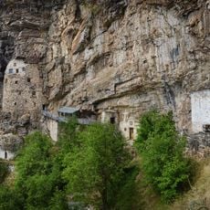
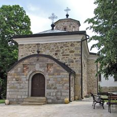
The district's medieval monasteries serve as active centers of faith and community gatherings for local residents today. These religious sites remain integral to how people here observe and celebrate their traditions throughout the year.

Practical

The district has several educational institutions that make it a center for learning and research. The existing facilities help visitors navigate and explore the different areas within the region.

Did you know?

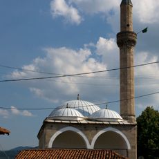
The district shows significant religious diversity in its population, with considerable communities of both Orthodox and Muslim believers. This coexistence shapes the local character and creates a meeting point between different faith traditions.

Location
Inception
January 29, 1992
Capital city
Kraljevo
Shares border with
Zlatibor District, Moravica District, Šumadija District, Rasina District, Kosovska Mitrovica District, Peć District
GPS coordinates
43.73333,20.66667
Latest update
December 7, 2025 20:23

AroundUs brings together thousands of curated places, local tips, and hidden gems, enriched daily by 60,000 contributors worldwide. Discover all places nearby (Serbia).

« Raška District - Administrative district in southwestern Serbia » is provided by Around Us (aroundus.com). Images and texts are derived from Wikimedia project under a Creative Commons license. You are allowed to copy, distribute, and modify copies of this page, under the conditions set by the license, as long as this note is clearly visible.

Discover hidden gems everywhere you go!

From secret cafés to breathtaking viewpoints, skip the crowded tourist spots and find places that match your style. Our app makes it easy with voice search, smart filtering, route optimization, and insider tips from travelers worldwide. Download now for the complete mobile experience.

Around Us App Screenshot

A unique approach to discovering new places

Le Figaro

All the places worth exploring

France Info

A tailor-made excursion in just a few clicks

20 Minutes

Around Us
Travel Guide & Maps
Download

Send to your phone

QR Code
1

Open the camera app on your mobile.

2

Point at the QR code with your camera. A notification will appear.

3

Tap the notification to open the link.