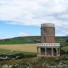
Tyneham, Abandoned village in Dorset, England
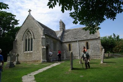
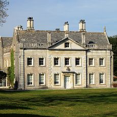
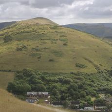
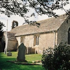
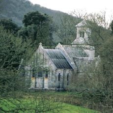
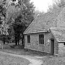
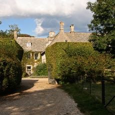
Tyneham is an abandoned village in Dorset, England, situated in a valley between the Purbeck Hills. The settlement contains several crumbling houses, a school building, a medieval church, and other structures that have stood empty for decades.
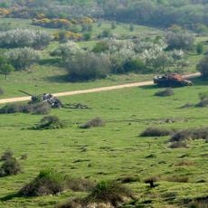
In 1943 the British government evacuated all 225 residents to make way for military training exercises. Although officials promised residents could return after World War II ended, this never happened and the village remained part of a military training area ever since.
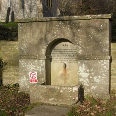
The school and St Mary's Church now house small museums that display objects and stories about former residents and how they lived before leaving. These buildings show what daily life looked like for the people who once called this place home.
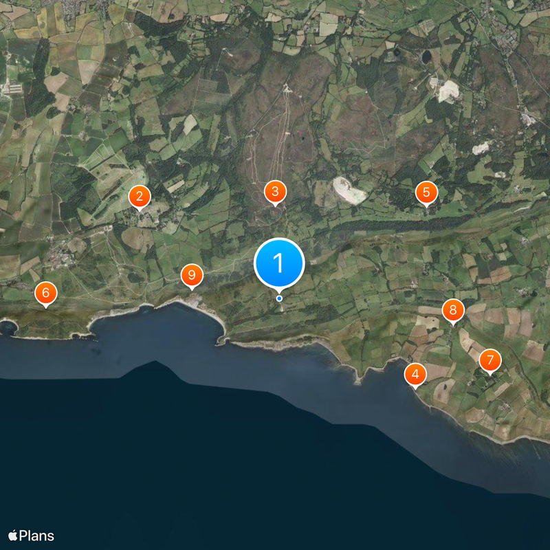
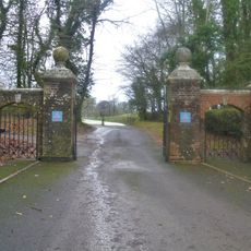
Entry is only permitted on weekends and public holidays because the area is used for active military training. Visitors should wear sturdy footwear and be prepared for overgrown paths and uneven ground throughout the site.
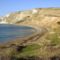
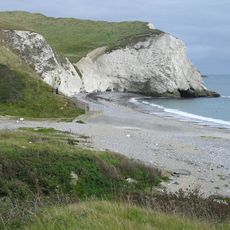
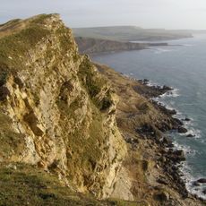
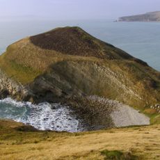
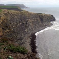
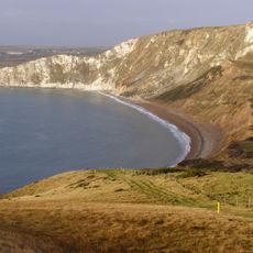
Since evacuation in 1943, the absence of human activity has allowed the area to become an important habitat for native wildlife. This accidental conservation outcome is something many visitors do not expect to encounter when walking through the ruins.
The community of curious travelers
AroundUs brings together thousands of curated places, local tips, and hidden gems, enriched daily by 60,000 contributors worldwide.