
Peñasco Bluff, cliff in Cibola County, Albuquerque-Santa Fe-Las Vegas, NM Combined Statistical Area, United States of America
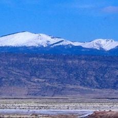
Mount Taylor
91 km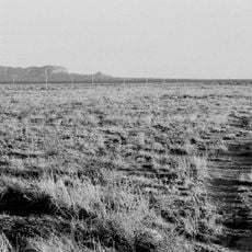
The Lightning Field
35.3 km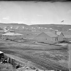
Fort Wingate
83.2 km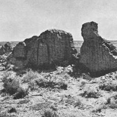
Hawikuh Ruins
58.8 km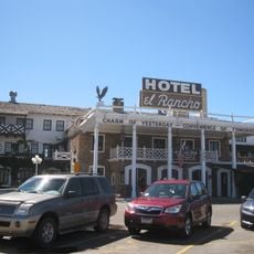
El Rancho Hotel & Motel
93.9 km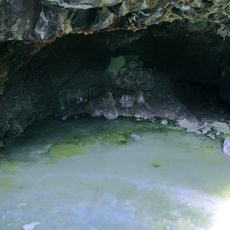
Bandera Volcano Ice Cave
40.4 km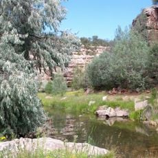
Bluewater Lake State Park
67.7 km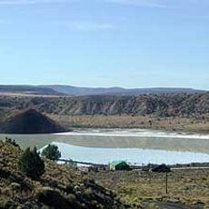
Zuñi Salt Lake
46.6 km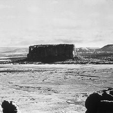
Enchanted Mesa
79.5 km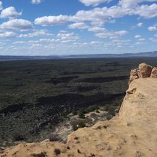
El Malpais National Conservation Area
36.6 km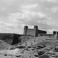
San Estevan Del Rey Mission Church
76.1 km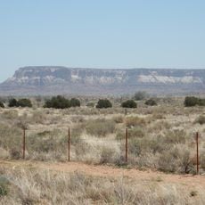
Dowa Yalanne
51.3 km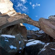
Cebolla Wilderness
43 km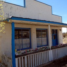
Acoma Curio Shop
82.4 km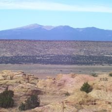
Datil-Mogollon Section
81.8 km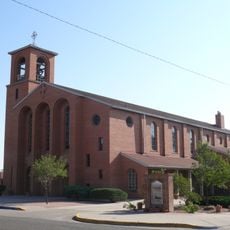
Sacred Heart Cathedral
93.9 km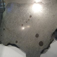
Grant meteorite
69 km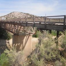
Allentown Bridge
92.8 km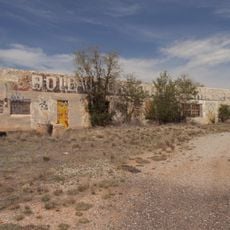
Bowlin's Old Crater Trading Post
71.8 km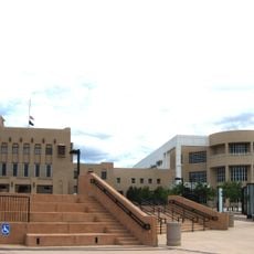
McKinley County Courthouse
94 km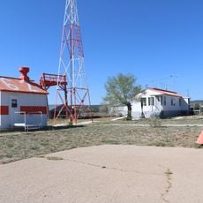
Grants-Milan Flight Service Station
66.1 km
Chief Theatre
94.3 km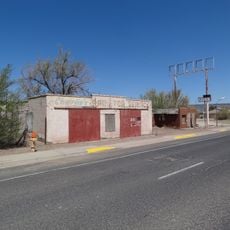
Charley's Automotive Service
67.4 km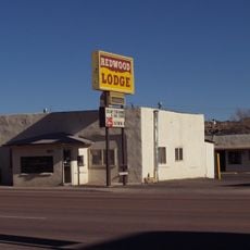
Redwood Lodge
94.2 km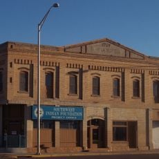
Drake Hotel
94.3 km
United States Post Office
94.3 km
Lebanon Lodge No. 22
94.2 km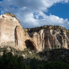
La Ventana Natural Arch
48.3 kmReviews
Visited this place? Tap the stars to rate it and share your experience / photos with the community! Try now! You can cancel it anytime.
Discover hidden gems everywhere you go!
From secret cafés to breathtaking viewpoints, skip the crowded tourist spots and find places that match your style. Our app makes it easy with voice search, smart filtering, route optimization, and insider tips from travelers worldwide. Download now for the complete mobile experience.

A unique approach to discovering new places❞
— Le Figaro
All the places worth exploring❞
— France Info
A tailor-made excursion in just a few clicks❞
— 20 Minutes