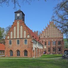
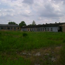
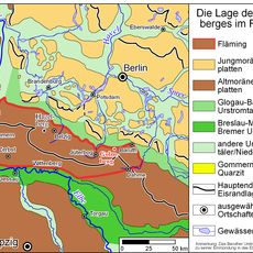
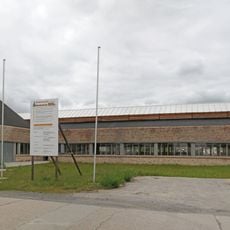
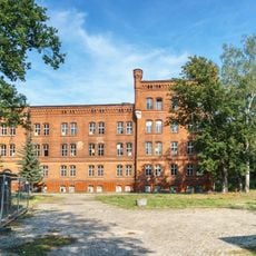
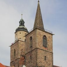
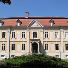
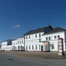
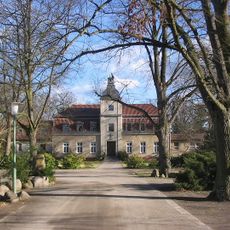
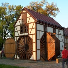
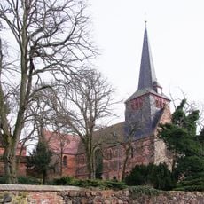
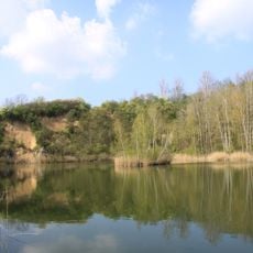
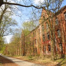
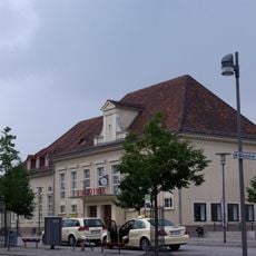
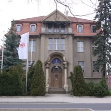
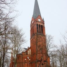
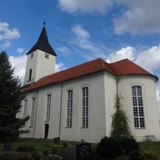
Nuthe-Urstromtal, municipality in Brandenburg state, Germany
Location: Teltow-Fläming District
Elevation above the sea: 42 m
Address: Frankenfelder Str. 10, 14947 Nuthe-Urstromtal 14947 14947
Website: https://nuthe-urstromtal.de
GPS coordinates: 52.12520,13.16177
Latest update: March 5, 2025 15:10
Heeresversuchsanstalt Kummersdorf
12.6 km
Zinna Abbey
12.1 km
Stalag III-A
4.4 km
Golmberg
17.3 km
Hutfabrik Friedrich Steinberg Herrmann & Co.
5.1 km
Historisch-Technisches Museum – Versuchsstelle Kummersdorf
14.4 km
St Nicholas
15.8 km
Schloss Stülpe
13.6 km
Jüterbog station
16 km
Kloster Alexanderdorf
12.5 km
Stadtbefestigung Jüterbog
15.7 km
Bunker Luckenwalde Salzgitter
4.2 km
Haus Dr. Estrich
16 km
Scheunenmühle Saalow
16.7 km
Liebfrauenkirche
16.2 km
Sperenberger Gipsbrüche
15.1 km
Kaserne Tauentzienstraße
15.8 km
Luckenwalde station
3.9 km
E-Werk Luckenwalde
4.7 km
Tausendjährige Linde
4.9 km
Landwerk Ahrensdorf
8.2 km
Jüterbog Town Hall
16 km
St. Johannis (Luckenwalde)
4 km
St Hedwig's Church
15.9 km
Klosterkirche St. Maria (Kloster Zinna)
11.8 km
Obermühle
5.9 km
St. Jakobikirche
4.5 km
Village church Sperenberg
14.1 kmReviews
Visited this place? Tap the stars to rate it and share your experience / photos with the community! Try now! You can cancel it anytime.
Discover hidden gems everywhere you go!
From secret cafés to breathtaking viewpoints, skip the crowded tourist spots and find places that match your style. Our app makes it easy with voice search, smart filtering, route optimization, and insider tips from travelers worldwide. Download now for the complete mobile experience.
A unique approach to discovering new places❞
— Le Figaro
All the places worth exploring❞
— France Info
A tailor-made excursion in just a few clicks❞
— 20 Minutes