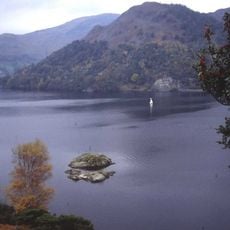
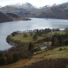
Ullswater, lake in the English Lake District
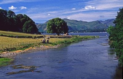
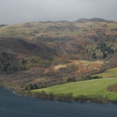
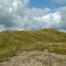
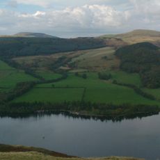
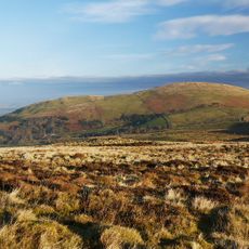
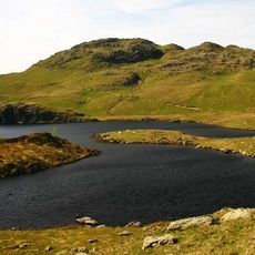
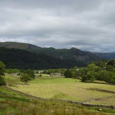
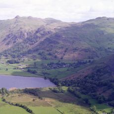
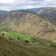
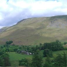
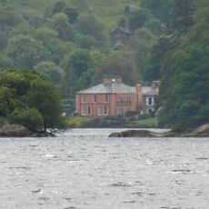
Ullswater is a long, narrow ribbon lake in the northeastern part of the Lake District in Cumbria, England. The water stretches about 7.5 miles and is surrounded by steep hills, with depths reaching over 200 feet in places.
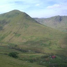
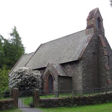
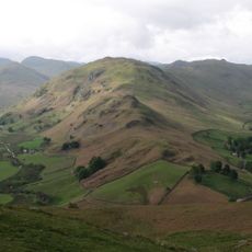
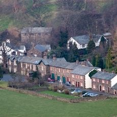
The valley was carved by glacial ice about 10,000 years ago, shaping the mountains and landscape. The Romans built the High Street road over 2,000 years ago to connect Penrith and Ambleside, and from the 1820s until the 1960s, slate and metal mines operated in the area.
The lake takes its name from an ancient people called the Ulls who once lived in this region. Today it remains a place where visitors find connection to both natural beauty and the stories of those who came before.
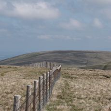
Visit Ullswater best during warmer months when boat rentals, walking trails, and water sports are fully available. Weather can change quickly in the area, so wear layers and bring a map or GPS device if you plan to hike the mountain paths.
The lake is home to a rare fish called the skelly, a type of char that lives only in the deepest parts of the water. This uncommon species thrives in the cold, clean conditions and remains hidden from most visitors, yet it makes Ullswater special from a natural history perspective.
Location: Cumbria
Elevation above the sea: 144 m
Website: https://nationaltrust.org.uk/aira-force-and-ullswater
GPS coordinates: 54.57190,-2.90050
Latest update: January 8, 2026 13:30
The Lake District covers the hills and valleys of Cumbria where lakes sit among mountains. Windermere, the largest, has boats crossing its waters for many years. Derwentwater, near Keswick, attracts walkers who circle its shores on foot. Ullswater offers a more quiet setting, while Buttermere and...
Aira Force
2 km
St Martin's Church, Martindale
2.2 km
Gowbarrow Fell
2.1 km
Place Fell
3.3 km
Hallin Fell
1.4 km
Great Mell Fell
5.8 km
Little Mell Fell
4 km
Angletarn Pikes
5.2 km
The Nab
5 km
Sheffield Pike
5.3 km
Arthur's Pike
4.3 km
St Peter's Church, Martindale
1.9 km
Glenridding Dodd
4.5 km
Loadpot Hill
4.2 km
Beda Fell
3 km
Arnison Crag
5.6 km
Pooley Bridge
6.8 km
Brock Crags
3.6 km
Steel Knotts
2.9 km
Bonscale Pike
3.5 km
Howtown Hotel
2.4 km
Glenridding House
4.2 km
All Saints Church, Watermillock
3.2 km
White Raise round cairn, Askham Fell
7.4 km
Church of St Patrick
4.7 km
Matterdale Church
3.4 km
Lyulph's Tower
1.5 km
St Paul's Church
7 kmVisited this place? Tap the stars to rate it and share your experience / photos with the community! Try now! You can cancel it anytime.
Discover hidden gems everywhere you go!
From secret cafés to breathtaking viewpoints, skip the crowded tourist spots and find places that match your style. Our app makes it easy with voice search, smart filtering, route optimization, and insider tips from travelers worldwide. Download now for the complete mobile experience.
A unique approach to discovering new places❞
— Le Figaro
All the places worth exploring❞
— France Info
A tailor-made excursion in just a few clicks❞
— 20 Minutes