Enable Location

We need your location to show you interesting places around you

Discover nearby places

Find interesting locations and hidden gems around you

Precise directions

Get accurate directions and distances to places

Your location is never shared with other users. It's only used when you tap the location button.

Lower Delaware National Wild and Scenic River

Log in to your account

Start exploring — it's free

Trusted by 62,366 travelers worldwide

Continue with Google
Continue with Apple
or

We will send you a code to connect

By continuing, you accept our Terms and Conditions and our Privacy Policy

Check your inbox

We've sent a pincode in your inbox. Please enter the code below.

Lower Delaware National Wild and Scenic River

Lower Delaware National Wild and Scenic River, National Wild and Scenic River in Pennsylvania and New Jersey, United States.

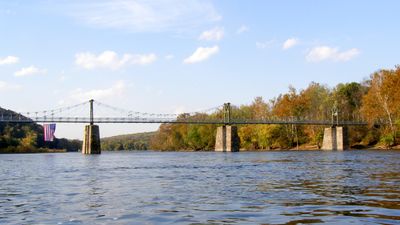
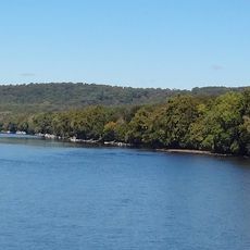
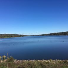
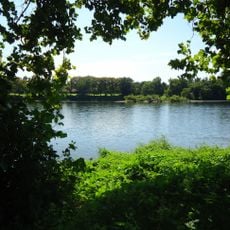
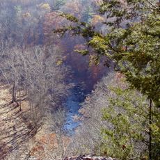
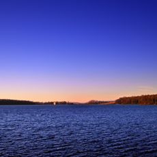
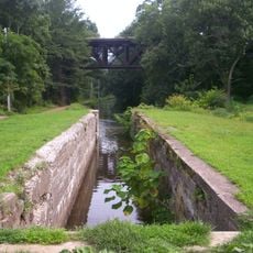
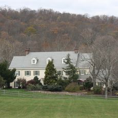
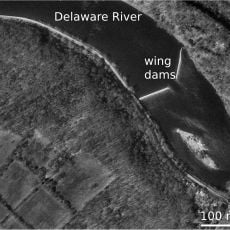
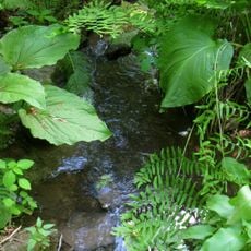
The Lower Delaware is a protected river section that winds through forests and farmland between Pennsylvania and New Jersey, providing water to both states. The main waterway stretches approximately 39 miles, while several tributary streams complete the system and create a varied landscape.

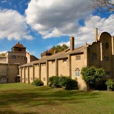
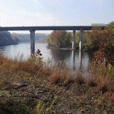
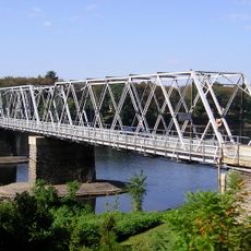
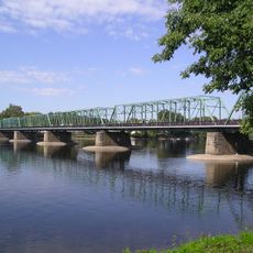
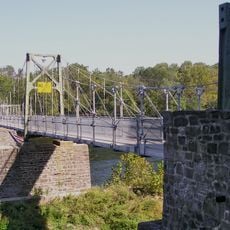
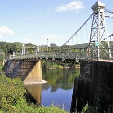
The river served as a central transportation route and boundary between different cultures and settlements in the region for centuries. In 2000, it received protection as a National Wild and Scenic River to preserve its natural and recreational qualities.

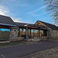
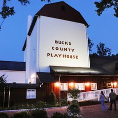
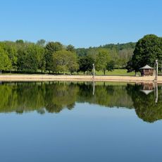
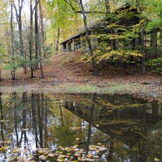
The river serves as a gathering place for recreation and wildlife observation, where locals and visitors enjoy fishing, paddling, and walking along the banks. The surrounding communities have built their identity around this waterway as a source of food, transportation, and connection to nature.

Multiple access points along the river allow visitors to enter the water for paddling, fishing, or wildlife watching. Late spring through early fall offers the most comfortable conditions, while winter visits require warmer clothing and awareness of higher water levels.

The Delaware Basin Commission enforces strict regulations that ban hydraulic fracturing throughout the watershed to protect water quality. This makes the river one of the less impacted waterways in a densely populated region.

The community of curious travelers

AroundUs brings together thousands of curated places, local tips, and hidden gems, enriched daily by 60,000 contributors worldwide.

Start exploring
Location
Location
Inception
November 1, 2000
Operator
National Park Service
GPS coordinates
40.50290,-75.06500
Latest update
December 14, 2025 13:06
Around this place
Mercer Museum
United States of America

Mercer Museum

22.4 km
Fonthill
United States of America

Fonthill

20.8 km
Washington's Crossing
United States of America

Washington's Crossing

28.3 km
Washington Crossing Historic Park
United States of America

Washington Crossing Historic Park

27.9 km
Moravian Pottery and Tile Works
United States of America

Moravian Pottery and Tile Works

20.6 km
Bucks County Playhouse
United States of America

Bucks County Playhouse

18.4 km
Peace Valley Park
United States of America

Peace Valley Park

22.2 km
Washington Crossing State Park
United States of America

Washington Crossing State Park

27.3 km
Bowman's Hill Tower
United States of America

Bowman's Hill Tower

22.4 km
Treasure Island Scout Reservation
United States of America

Treasure Island Scout Reservation

3.4 km
Ralph Stover State Park
United States of America

Ralph Stover State Park

8.1 km
James A. Michener Art Museum
United States of America

James A. Michener Art Museum

22.3 km
Spruce Run Recreation Area
United States of America

Spruce Run Recreation Area

20.7 km
Merrill Creek Reservoir
United States of America

Merrill Creek Reservoir

26.1 km
Interstate 78 Toll Bridge
United States of America

Interstate 78 Toll Bridge

21.1 km
Washington Crossing Bridge
United States of America

Washington Crossing Bridge

28.5 km
Delaware Canal State Park
United States of America

Delaware Canal State Park

5.6 km
Keith House
United States of America

Keith House

25.2 km
New Hope – Lambertville Bridge
United States of America

New Hope – Lambertville Bridge

18.2 km
George Nakashima House, Studio and Workshop
United States of America

George Nakashima House, Studio and Workshop

20.3 km
Lumberville – Raven Rock Bridge
United States of America

Lumberville – Raven Rock Bridge

10.8 km
Red Mill
United States of America

Red Mill

19.6 km
Riegelsville Bridge
United States of America

Riegelsville Bridge

14.7 km
Oscar Hammerstein II Farm
United States of America

Oscar Hammerstein II Farm

21.9 km
Hunterdon Plateau
United States of America

Hunterdon Plateau

11.2 km
Voorhees State Park
United States of America

Voorhees State Park

26.2 km
Bulls Island Recreation Area
United States of America

Bulls Island Recreation Area

10.6 km
Bowman's Hill Wildflower Preserve
United States of America

Bowman's Hill Wildflower Preserve

21.9 km
Show the full map
« Lower Delaware National Wild and Scenic River - National Wild and Scenic River in Pennsylvania and New Jersey, United States » is provided by Around Us (aroundus.com). Images and texts are derived from Wikimedia project under a Creative Commons license. You are allowed to copy, distribute, and modify copies of this page, under the conditions set by the license, as long as this note is clearly visible.

Discover hidden gems everywhere you go!

From secret cafés to breathtaking viewpoints, skip the crowded tourist spots and find places that match your style. Our app makes it easy with voice search, smart filtering, route optimization, and insider tips from travelers worldwide. Download now for the complete mobile experience.

Around Us App Screenshot

A unique approach to discovering new places

Le Figaro

All the places worth exploring

France Info

A tailor-made excursion in just a few clicks

20 Minutes

Around Us
Travel Guide & Maps
Download

Send to your phone

QR Code
1

Open the camera app on your mobile.

2

Point at the QR code with your camera. A notification will appear.

3

Tap the notification to open the link.