Chartreuse Regional Natural Park
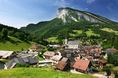
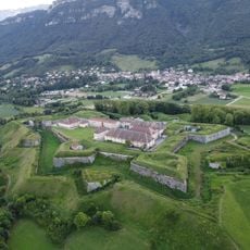
Chartreuse Regional Natural Park, Regional natural park in Rhône-Alpes, France
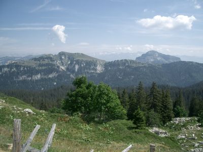
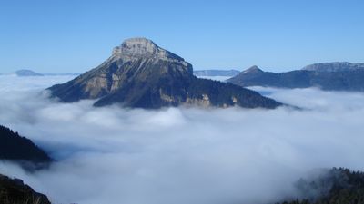
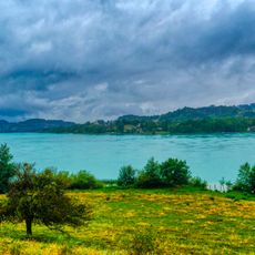
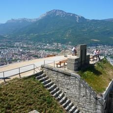
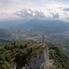
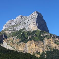
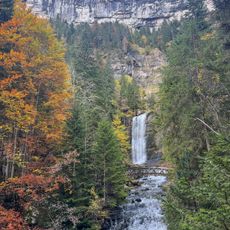
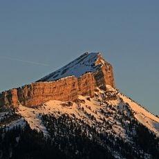
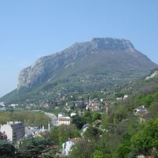
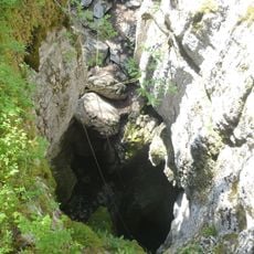
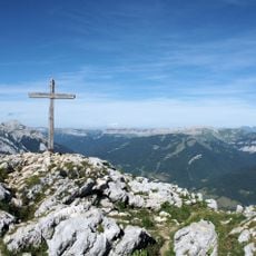
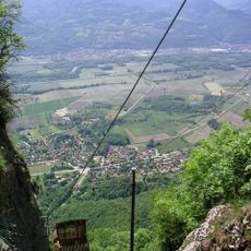
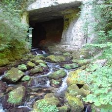
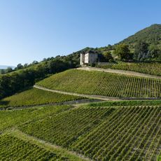
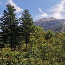
Chartreuse Regional Natural Park is a protected landscape that spans a large mountainous area between three major cities, encompassing diverse habitats and natural environments. The terrain ranges from gentle meadows to high peaks, offering visitors varied landscapes to explore on foot.
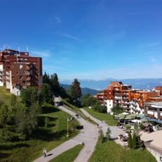
The park was established in 1995 to preserve the natural landscapes of this mountain region and promote sustainable living within its boundaries. Its creation reflected a broader effort to protect European mountain areas from overuse and development.
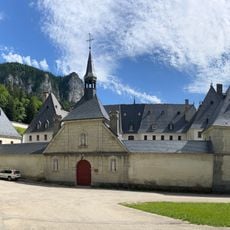
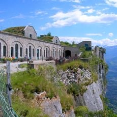
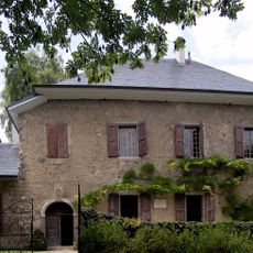
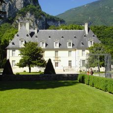
The region has a strong connection to Carthusian monks who continue to make their famous herbal liqueurs using traditional methods passed down through generations. Visitors can sense this spiritual presence woven throughout the landscape and local communities.
The area is crisscrossed with marked trails that allow visitors to explore the different habitats on foot at their own pace. The best time to visit is late spring through early autumn, when the paths are dry and temperatures remain comfortable for walking.
The area harbors an unusual richness of butterfly species that visitors can observe during walks on sunny days along the meadows. This insect diversity owes much to the region's varied mountain climates and the range of plants that thrive there.
Location: La Sure en Chartreuse
Location: Porte-de-Savoie
Location: Plateau-des-Petites-Roches
Location: La Flachère
Location: Lumbin
Location: Sainte-Marie-d'Alloix
Location: Saint-Nicolas-de-Macherin
Location: Ayn
Location: Dullin
Location: Lépin-le-Lac
Location: Nances
Location: Novalaise
Location: Saint-Alban-de-Montbel
Location: Marcieux
Location: Gerbaix
Location: Saint-Sulpice
Location: Jacob-Bellecombette
Location: Barberaz
Inception: May 6, 1995
Address: 11 Pl. de la Mairie, 38380 Saint-Pierre-de-Chartreuse, France
Phone: +33476886208
Website: http://parc-chartreuse.net
GPS coordinates: 45.38900,5.79650
Latest update: December 6, 2025 16:04
Grenoble sits in the Isère River valley, surrounded by three mountain ranges in the French Alps. The city combines alpine landscape with urban infrastructure and serves as a base for exploring the surrounding mountain regions. The Fort de la Bastille, accessible via a historic cable car, provides...
Lac d'Aiguebelette
18.2 km
Grande Chartreuse
2.9 km
Elephants Fountain
22.1 km
Rotonde ferroviaire de Chambéry
22.9 km
Bastille
21.9 km
Croix du Nivolet
28.3 km
Château de Chambéry
21.7 km
Dent de Crolles
10.1 km
Cirque de Saint-Même
7.4 km
Les sept Laux
21.4 km
Chamechaude
11.3 km
Néron
18.5 km
Gouffre Berger
24.1 km
Casamaures
21.8 km
Charmant Som
7.5 km
Fort Barraux
15.8 km
Funiculaire de Saint-Hilaire du Touvet
12.3 km
Fort du Saint-Eynard
17.3 km
Château Bayard
17.8 km
Chambéry Cathedral
22 km
Cuves de Sassenage
23.1 km
Les Charmettes
21 km
Château de Monterminod
25.3 km
Sanctuaire Notre-Dame de Myans
20.4 km
La Grande Sure
9.5 km
Château de Sassenage
22.6 km
Château du Touvet
12.1 km
Lac de Saint-André
18.9 kmVisited this place? Tap the stars to rate it and share your experience / photos with the community! Try now! You can cancel it anytime.
Discover hidden gems everywhere you go!
From secret cafés to breathtaking viewpoints, skip the crowded tourist spots and find places that match your style. Our app makes it easy with voice search, smart filtering, route optimization, and insider tips from travelers worldwide. Download now for the complete mobile experience.
A unique approach to discovering new places❞
— Le Figaro
All the places worth exploring❞
— France Info
A tailor-made excursion in just a few clicks❞
— 20 Minutes