
פרגולה
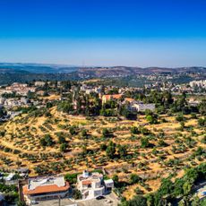
Location: מועצה אזורית מטה יהודה
GPS coordinates: 31.79528,35.08440
Latest update: October 15, 2025 21:42
Kiriath-Jearim
2.7 km
Ein Hemed
3.9 km
Benedictine monastery in Abu Ghosh
2.6 km
Scroll of Fire
4.6 km
Givat ha-Radar
5.4 km
Kiftzuba
3.1 km
Castel National Park
5.7 km
Suba, Jerusalem
3.9 km
Our Lady of the Ark of the Covenant Church
2.2 km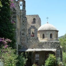
Monastery of St. John in the Wilderness
5.4 km
Shemurat HaMasreq
3.7 km
Har Etan
3.9 km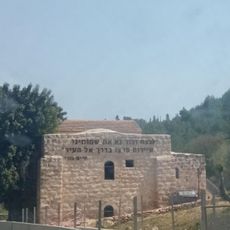
חאן שער הגיא
6.2 km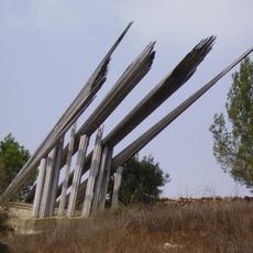
Memorial for the Pioneers of the Road to Jerusalem
941 m
Belmont
4.1 km
Ein Limon
2.2 km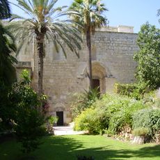
Resurrection Church, Abu Ghosh
2.6 km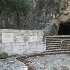
B'nai B'rith cave
5.4 km
Saxum
2.9 km
Mahal memorial
6.2 km
Tur Shimon
5 km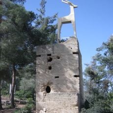
Sanatorium Outpost
4.3 km
Hadassah Trail
6.3 km
Khirbet Kefireh
4.5 km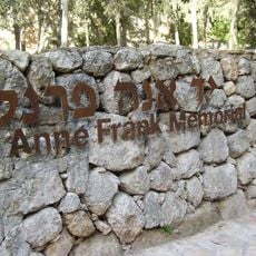
יד אנה פרנק
5.4 km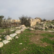
Hurvat Mezad
3.7 km
Maor Hakhmey Hamarav synagogue
1.9 km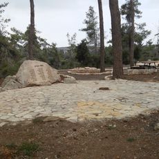
114th Squadron Memorial
3 kmReviews
Visited this place? Tap the stars to rate it and share your experience / photos with the community! Try now! You can cancel it anytime.
Discover hidden gems everywhere you go!
From secret cafés to breathtaking viewpoints, skip the crowded tourist spots and find places that match your style. Our app makes it easy with voice search, smart filtering, route optimization, and insider tips from travelers worldwide. Download now for the complete mobile experience.

A unique approach to discovering new places❞
— Le Figaro
All the places worth exploring❞
— France Info
A tailor-made excursion in just a few clicks❞
— 20 Minutes