San Luis
Location: Costilla County
GPS coordinates: 37.20045,-105.42812
Latest update: October 29, 2025 19:47

Blanca Peak
42.3 km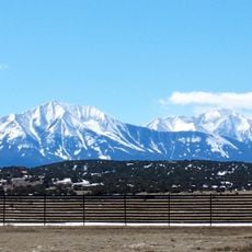
Spanish Peaks
44.7 km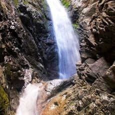
Zapata Falls
47.9 km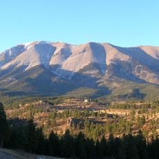
Spanish Peaks Wilderness
44.6 km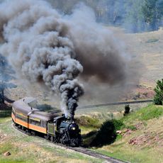
Rio Grande Scenic Railroad
48.7 km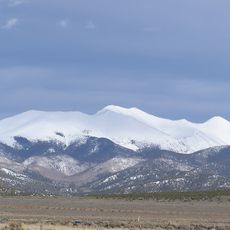
Culebra Peak
23.2 km
West Spanish Peak
43.1 km
Fort Garland
24.9 km
Little Bear Peak
41.2 km
Mount Lindsey
42.7 km
Alamosa National Wildlife Refuge
38.5 km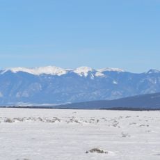
Latir Peak Wilderness
45.1 km
Ellingwood Point
42.9 km
Pike's Stockade
35.4 km
D&RGW 169
48.7 km
San Luis Hills
28.1 km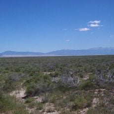
Closed Basin Project
44.5 km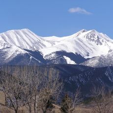
Red Mountain
24 km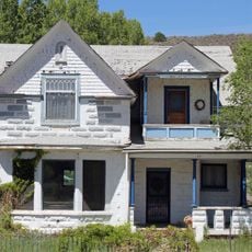
A. A. Salazar House
320 m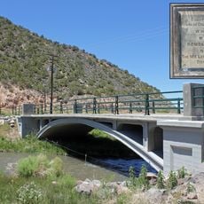
San Luis Bridge
785 m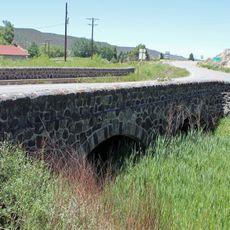
Rito Seco Creek Culvert
185 m
San Luis Southern Railway Trestle
23.3 km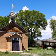
Capilla de San Isidro
8.5 km
Monument Lake Park Building and Hatchery Complex
33.8 km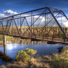
Costilla Crossing Bridge
32.2 km
Capilla de Todos Los Santos
191 m
Grotto of Our Lady of Guadalupe
311 m
Scenic viewpoint
40.7 kmReviews
Visited this place? Tap the stars to rate it and share your experience / photos with the community! Try now! You can cancel it anytime.
Discover hidden gems everywhere you go!
From secret cafés to breathtaking viewpoints, skip the crowded tourist spots and find places that match your style. Our app makes it easy with voice search, smart filtering, route optimization, and insider tips from travelers worldwide. Download now for the complete mobile experience.

A unique approach to discovering new places❞
— Le Figaro
All the places worth exploring❞
— France Info
A tailor-made excursion in just a few clicks❞
— 20 Minutes