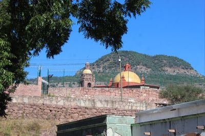
Cerocahui, Mountain village in Urique, Mexico.
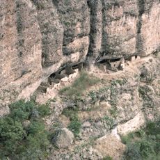
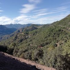
Cerocahui is a mountain village sitting at roughly 1800 meters elevation within Urique Canyon, surrounded by thick pine forests of the Sierra Tarahumara. The settlement spreads across rolling terrain with narrow paths and simple structures that blend into the mountain landscape.
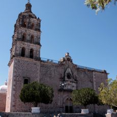
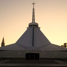
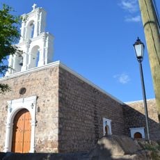
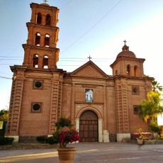
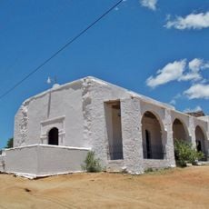
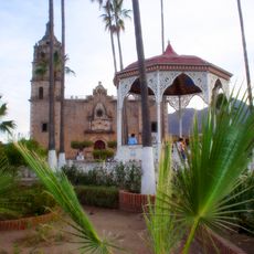
Missionaries founded this place as a mission outpost in 1680 and built the Church of San Francisco Javier, which still stands at the center today. The community later developed an educational institution to serve the Tarahumara population, maintaining cultural continuity.
The Tarahumara people shape daily life here through their presence and traditional practices tied to the land. Their connection to these mountains remains visible in how the community uses the surrounding landscape for farming and gathering.
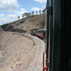
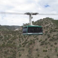
The village is accessible by the Ferrocarril Chihuahua al Pacífico railway, which passes through Bahuichivo station and offers both regional and express connections to major cities. The journey through the mountains provides a rewarding way to see the landscape and reach the area.
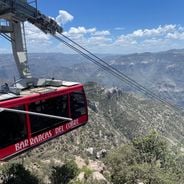
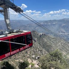
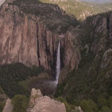
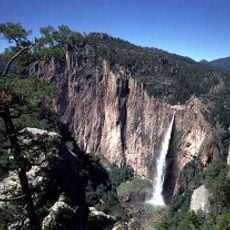
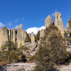
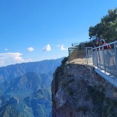
The Cerro del Gallego viewpoint offers clear views of the Copper Canyon and reveals the sprawling network of canyons far below. From this vantage point, visitors can grasp why this region has long been known for its dramatic geological formations.
The community of curious travelers
AroundUs brings together thousands of curated places, local tips, and hidden gems, enriched daily by 60,000 contributors worldwide.