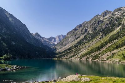
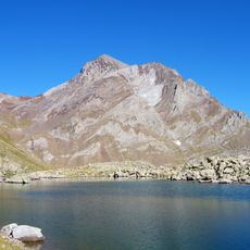
Gaube Lake, Mountain lake in Cauterets, France.
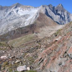
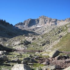
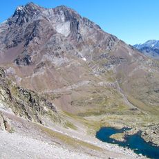
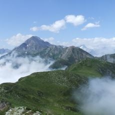
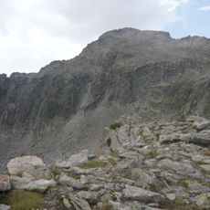
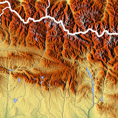
Gaube Lake sits at 1725 meters (5659 feet) in the Pyrenees with an oval shape covering 19 hectares. Its waters reach depths of 40 meters and are surrounded by steep mountain slopes.
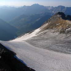
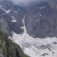
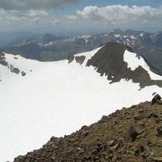
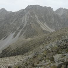
The name comes from the Gascon word 'gaube' meaning lake, reflecting historical language evolution in this Pyrenean region. Glacial activity during ice ages shaped this natural formation.
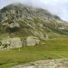
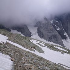
The GR10 long-distance trail runs along the left shore, serving as an important passage for hikers crossing the Pyrenees. People use this route to traverse the mountains and experience the landscape firsthand.
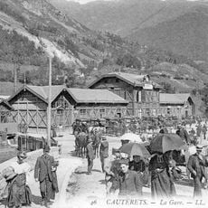
You can reach the lake by hiking for about one hour from Pont d'Espagne or by taking a cable car followed by a short 15-minute walk. The mountain terrain is steep, so sturdy footwear and physical fitness help make the journey more comfortable.
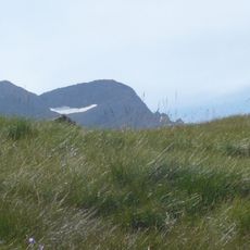
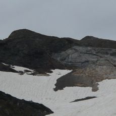
The delta at the lake's outlet contains glacial deposits that reveal how ancient glaciers shaped this place. These sediments tell a silent story of the ice age past.
The community of curious travelers
AroundUs brings together thousands of curated places, local tips, and hidden gems, enriched daily by 60,000 contributors worldwide.