
Wegner Peak, Landform in Mohave County, Arizona
Location: Arizona
Made from material: granite
GPS coordinates: 34.43155,-113.60152
Latest update: March 16, 2025 21:55

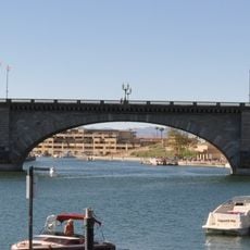
London Bridge
68.6 km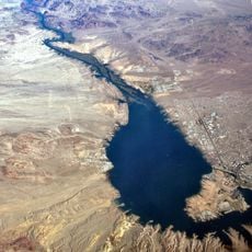
Lake Havasu
72 km
Central Arizona Project
48.9 km
Colorado River Aqueduct
54.8 km
Alamo Lake State Park
22.2 km
Buckskin Mountain State Park
52.9 km
The Needles
81.4 km
Cattail Cove State Park
53 km
Old Trails Bridge
86.9 km
Bill Williams River National Wildlife Refuge
45.4 km
Red Rock Bridge
87.3 km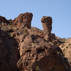
Topock Gorge
81.9 km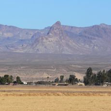
Warm Springs Wilderness
82.9 km
Arrastra Mountain Wilderness
31.4 km
R. L. Anderson House
93.6 km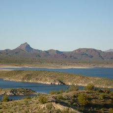
Alamo Lake
22.2 km
Mohave Canyon
81.2 km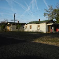
Lovin and Withers Cottages
93.3 km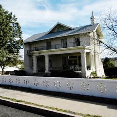
Raymond Carr House
93.7 km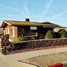
Lovin & Withers Investment House
93.5 km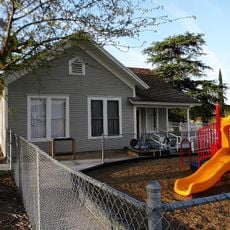
Hubbs House
93.5 km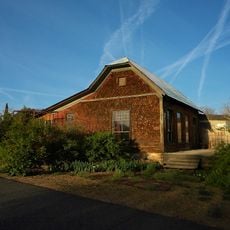
Foster S. Dennis House
93.8 km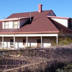
George R. Kayser House
93.7 km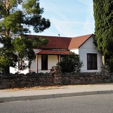
Mrs. M. P. Sargent House
93.6 km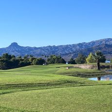
Bridgewater Links
68.3 km
Area 66
69 km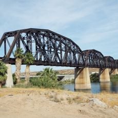
Arizona and California Railroad Bridge
70.9 km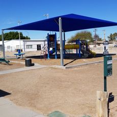
Pop Harvy Park splash pad
71.2 kmReviews
Visited this place? Tap the stars to rate it and share your experience / photos with the community! Try now! You can cancel it anytime.
Discover hidden gems everywhere you go!
From secret cafés to breathtaking viewpoints, skip the crowded tourist spots and find places that match your style. Our app makes it easy with voice search, smart filtering, route optimization, and insider tips from travelers worldwide. Download now for the complete mobile experience.

A unique approach to discovering new places❞
— Le Figaro
All the places worth exploring❞
— France Info
A tailor-made excursion in just a few clicks❞
— 20 Minutes