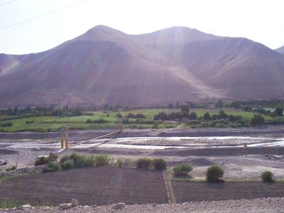
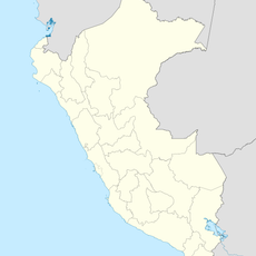
Osmore River, Brook in Province of Ilo, Peru.
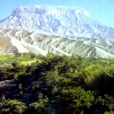
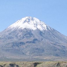
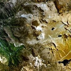
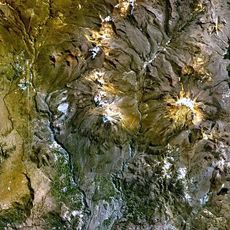
The Osmore River originates in the snow-covered peaks of the Chuqi Ananta mountains at around 5,100 meters and flows through valleys before emptying into the Pacific Ocean. The water travels across changing terrain and sustains the region as it makes its way toward the sea.
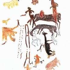
The Osmore River valley contains the remains of over 500 archaeological sites that document human settlement spanning more than 10,000 years. These discoveries reveal the long and continuous relationship between people and this water system throughout history.
The river carries different names along its course: Moquegua in the highlands, Osmore in the middle section, and Rio Ilo near the coast. These names reflect the distinct regions the water flows through and shape how local communities identify with the river.
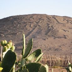
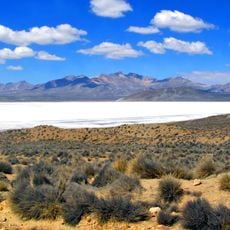
The water supports farming in the lower sections through developed irrigation canal networks where farmers grow grapes, corn, peppers, and cotton. Visitors can best explore the agricultural landscape and valley in the flatter areas closer to the coast.
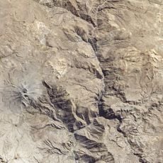
The water system maintains a gradient of about 3.6 percent across nearly 480 kilometers in length and drains approximately 3,480 square kilometers of territory. These proportions highlight the remarkable scale of this system spanning from the highest mountains to the ocean.
The community of curious travelers
AroundUs brings together thousands of curated places, local tips, and hidden gems, enriched daily by 60,000 contributors worldwide.