Enable Location

We need your location to show you interesting places around you

Discover nearby places

Find interesting locations and hidden gems around you

Precise directions

Get accurate directions and distances to places

Your location is never shared with other users. It's only used when you tap the location button.

Log in to your account

Start exploring — it's free

Trusted by 60,664 travelers worldwide

Continue with Google
Continue with Apple
or

We will send you a code to connect

By continuing, you accept our Terms and Conditions and our Privacy Policy

Check your inbox

We've sent a pincode in your inbox. Please enter the code below.

Supe Puerto District

Supe Puerto District, Coastal district in Barranca Province, Peru

Description

Supe Puerto District is a coastal area in Barranca Province that extends along the Pacific Ocean and includes several beaches such as La Isla and Faro Point. The terrain is shaped by its closeness to the sea, with landscapes typical of the Peruvian coast.

History

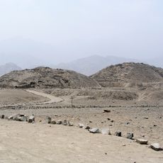
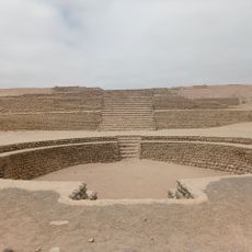
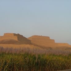
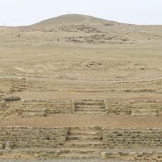
The area was already settled in pre-ceramic times, several thousand years ago, with archaeological traces from these early communities visible today. It was formally established as an independent district in 1906, separating from the original Supe settlement.

Culture

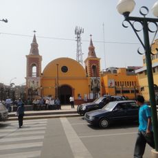
The name refers to an ancient fishing harbor, and the place remains shaped by people whose lives are tied to the sea. Daily life and work revolve around fishing and port activities, visible in the boats and bustling waterfront.

Practical

The district is located on the coast and is best explored on foot or using local transport options that connect the different beaches. Visitors should prepare for changing weather and check conditions on paths, especially if exploring more remote areas.

Did you know?

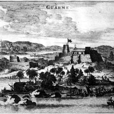
The area was once a key port for exporting products from large plantations and agricultural estates in the region. This connection to commercial shipping shaped its development and makes it an interesting place to understand Peruvian trade history.

Inception
December 5, 1906
Capital city
Supe Puerto
Elevation above the sea
6 m
Shares border with
Barranca District, Supe District
GPS coordinates
-10.80152,-77.74354
Latest update
December 10, 2025 15:53

AroundUs brings together thousands of curated places, local tips, and hidden gems, enriched daily by 60,000 contributors worldwide. Discover all places nearby (Barranca Province).

« Supe Puerto District - Coastal district in Barranca Province, Peru » is provided by Around Us (aroundus.com). Images and texts are derived from Wikimedia project under a Creative Commons license. You are allowed to copy, distribute, and modify copies of this page, under the conditions set by the license, as long as this note is clearly visible.

Discover hidden gems everywhere you go!

From secret cafés to breathtaking viewpoints, skip the crowded tourist spots and find places that match your style. Our app makes it easy with voice search, smart filtering, route optimization, and insider tips from travelers worldwide. Download now for the complete mobile experience.

Around Us App Screenshot

A unique approach to discovering new places

Le Figaro

All the places worth exploring

France Info

A tailor-made excursion in just a few clicks

20 Minutes

Around Us
Travel Guide & Maps
Download

Send to your phone

QR Code
1

Open the camera app on your mobile.

2

Point at the QR code with your camera. A notification will appear.

3

Tap the notification to open the link.