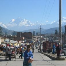
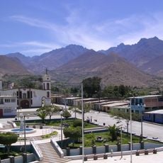
Yungay, Provincial capital in Callejón de Huaylas valley, Peru
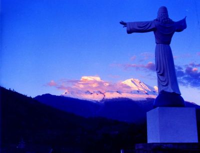
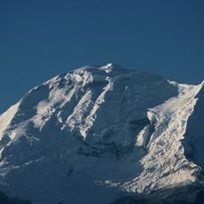
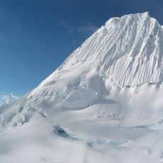
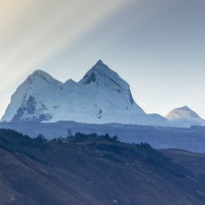
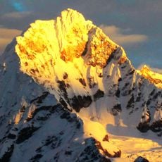
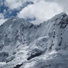
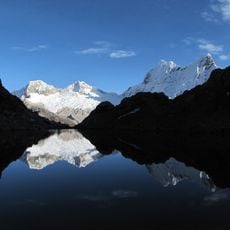
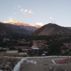
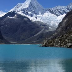
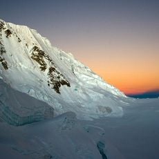
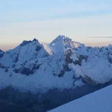
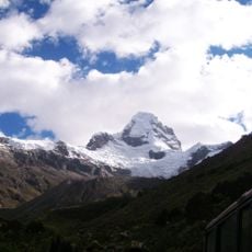
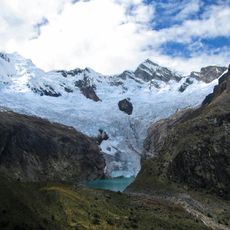
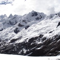
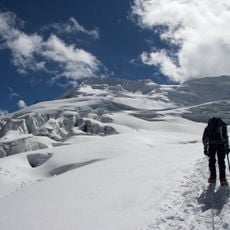
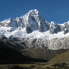
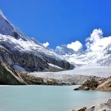
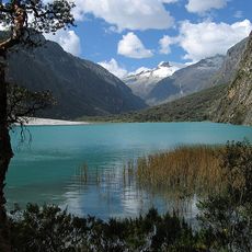
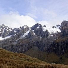
Yungay is a city in the Callejón de Huaylas valley, sitting at about 2,458 meters elevation and framed by the snow-capped peaks of Mount Huascarán. The settlement functions as a local administrative hub with basic services for the surrounding communities in the Áncash region of north-central Peru.
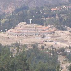
The original settlement was founded in 1540, but was completely destroyed in 1970 by an avalanche triggered by a major earthquake. The town was rebuilt at a new location afterward, leaving the old site to serve today as a national memorial.
The town serves as a regional cultural center where Spanish and Quechua coexist in daily life, reflecting the values of Andean communities. This blend of languages and traditions shapes how people interact and gives the place its distinct identity.
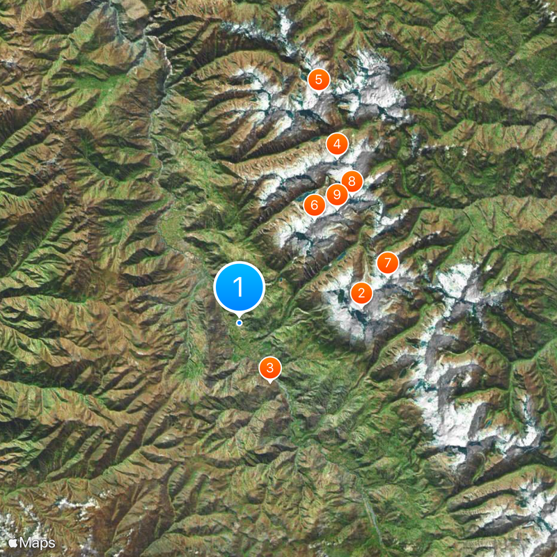
The main access point is from Huaraz, which lies about 30 kilometers away and connects by a well-maintained road. Visitors should prepare for cool nights at this elevation and bring comfortable shoes to explore the mountain surroundings.
The original city site remains as a national cemetery, where four palm trees and a cemetery arch stand as silent reminders of the past. This ground is visited by locals and travelers to remember those lost in the natural disaster.
The community of curious travelers
AroundUs brings together thousands of curated places, local tips, and hidden gems, enriched daily by 60,000 contributors worldwide.