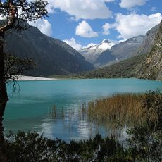
Qarwapunta, Summit in the Cordillera Negra, Ancash Region, Peru
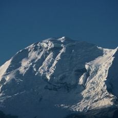
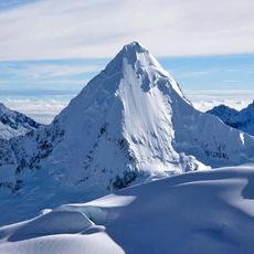
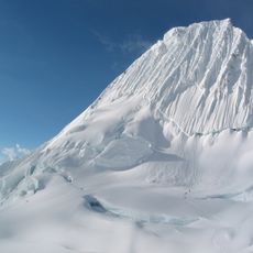
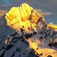
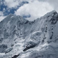
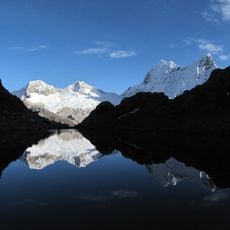
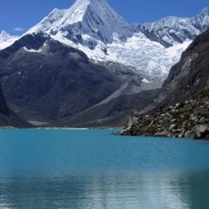
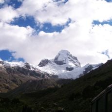
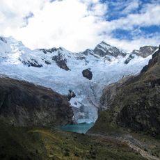
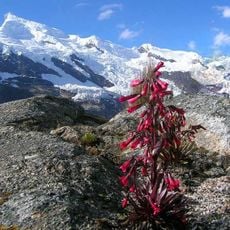
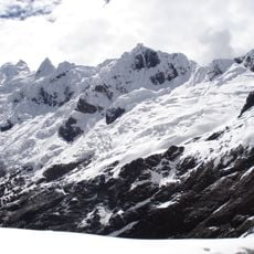
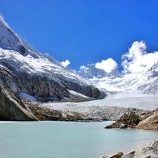
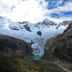
Qarwaqucha, also called Qarwa Punta or Flery Punta, is a 5,070 m summit in the Cordillera Negra, in the Cáceres del Perú District of Ancash's Santa Province. It is the range's second-highest peak. A small lake of the same name lies southeast of the summit at about 8°57′35″S 77°57′26″W. The peak holds no permanent glaciers but is covered by temporary snow for much of the year.
The summit appears on Peru's national geographic chart, sheet 18h, under the name Carhuacocha, the name also used for the small lake southeast of the peak. The Quechua name Qarwaqucha combines qarwa, yellowish, with qucha, lake. The origin of the alternative name Flery Punta is unknown.
The Quechua name Qarwaqucha means "yellowish lake", from qarwa (yellowish) and qucha (lake); the peak is also called Qarwa Punta, "yellowish peak". The alternative name Flery Punta has no known origin. The summit is known locally as Carhuacocha on Peru's national geographic chart, sheet 18h.
Qarwaqucha is a 5,070 m summit in the Cordillera Negra, in Cáceres del Perú District, Santa Province, Ancash. It lies near the small lake of the same name, southeast of the peak at 8°57′35″S 77°57′26″W. The summit holds no permanent glaciers but is often snow-covered; rain between December and March brings snow that melts until July, and a light snowfall called the pushpa falls in August.
The summit's Quechua name means "yellowish peak," from qarwa (yellowish) and punta; the lake below shares the root as Qarwaqucha, "yellowish lake." On the National Geographic Chart of Peru, sheet 18h, the peak itself is labelled Carhuacocha, the same name as the lake southeast of it.
The community of curious travelers
AroundUs brings together thousands of curated places, local tips, and hidden gems, enriched daily by 92,611 contributors worldwide.