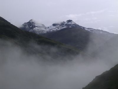
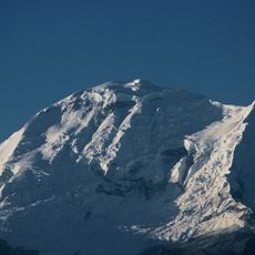
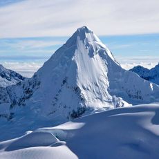
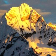
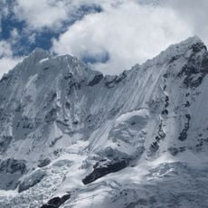
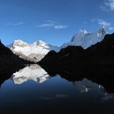
Coñocranra, Mountain summit in Cordillera Negra, Peru.
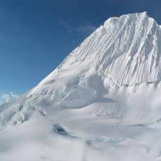
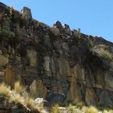
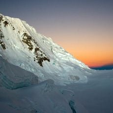
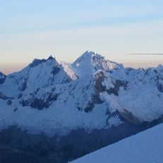
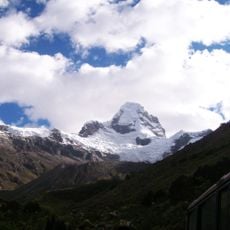
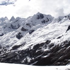
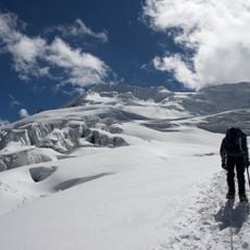
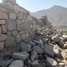
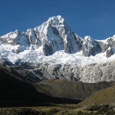
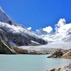
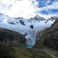
Coñocranra is a summit in the Cordillera Negra range located at approximately 5,180 meters elevation, making it the highest point in this mountain chain. The peak features rocky terrain and steep slopes characteristic of the high-altitude Andean environment, with access requiring traversal through surrounding ridges and valleys.
The name derives from Quechua language roots referring to the geological characteristics of warm stones found in this Andean region. This peak has served as a landmark for centuries, influencing travel routes and settlement patterns in the surrounding mountain communities.
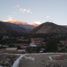
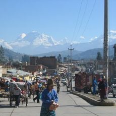
Indigenous communities in the surrounding valleys maintain traditional practices tied to this peak, viewing it as part of their ancestral lands and natural heritage. The mountain remains woven into local life through stories and seasonal activities that continue to connect people to the high-altitude environment.
Visitors should prepare for high altitude and bring specialized climbing gear, as the summit is only suitable for experienced mountaineers. The best time to attempt the climb is during the drier months, and hikers should arrange guides from local mountain communities for safe travel.
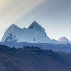
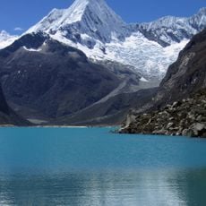
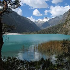
On clear days, visitors from the peak can view both the misty Pacific coast to the west and the snow-capped peaks of Cordillera Blanca to the east. This rare vantage point creates a striking contrast between two dramatically different environments visible from a single location.
The community of curious travelers
AroundUs brings together thousands of curated places, local tips, and hidden gems, enriched daily by 60,000 contributors worldwide.