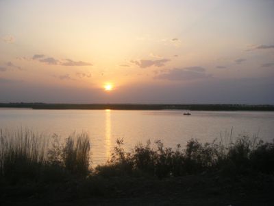
Amu Darya, Major river in Turkmenistan.
The Amu Darya flows over 2,540 kilometers (1,580 miles) from the Pamir Mountains through Central Asia, moving northwest toward the southern Aral Sea. Its width varies with season and terrain, sometimes spreading across flat plains and at other points running between narrow banks.
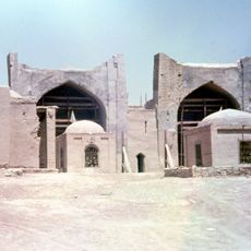
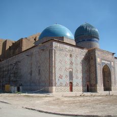
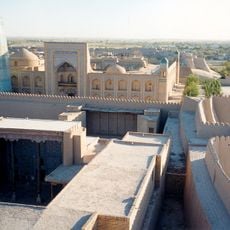
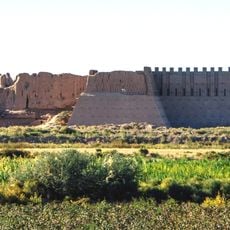
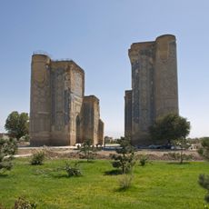
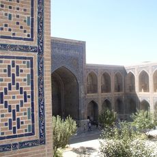
Ancient Greek and Roman chroniclers called the river Oxus when it marked the boundary between Greater Iran and the steppes of Turan. During medieval times it shifted its course several times, shaping the settlement of communities along its banks.
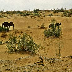
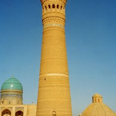
The river carries its name since the 16th century, derived from a historical crossing near the Uzbek city of Āmul. Local fishermen still use traditional methods along the banks, where small settlements are shaped by the seasonal water level.
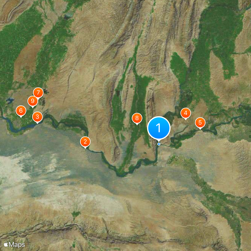
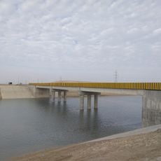
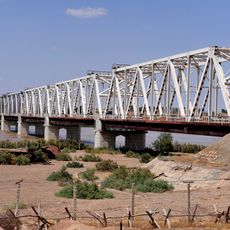
Access points are usually found at bridges or villages, some reached by unpaved roads. Weather can be extreme, so bring sun protection and enough drinking water.
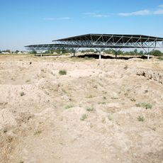
The river feeds large irrigation canals like the Qaraqum Canal, transporting water hundreds of kilometers to distant fields. During spring snowmelt the water level rises noticeably, transforming the appearance of the riverside landscape for several weeks.
The community of curious travelers
AroundUs brings together thousands of curated places, local tips, and hidden gems, enriched daily by 60,000 contributors worldwide.