
Ruyi Du Ab, district of Samangan, Afghanistan
Location: Samangan
Elevation above the sea: 2,419 m
GPS coordinates: 35.65810,68.04780
Latest update: March 22, 2025 06:55


Blue Mosque
144.1 km
Qosh Tepa Canal
160.7 km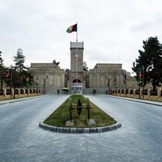
Arg
163 km
Band-e Amir National Park
117.5 km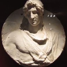
Alexandria on the Caucasus
136.5 km
Qala-i-Jangi
147.5 km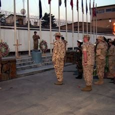
Camp Eggers
162.4 km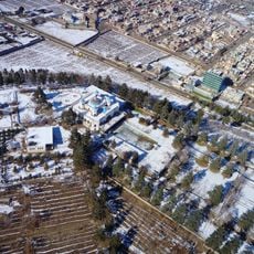
Bagh-e Bala Palace
158.6 km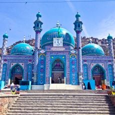
Sakhi Shrine
161.4 km
Abdul Rahman Mosque
163 km
Surkh Kotal
64 km
Kabul Zoo
162.9 km
Shah-Do Shamshira Mosque
163.2 km
Cyropolis
162.9 km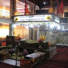
Gurdwara Karte Parwan
159.5 km
Takht-e Rostam
65.5 km
Bagram Hoard
137.3 km
Haji Piyada
156.2 km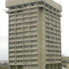
Kabul Tower
161.4 km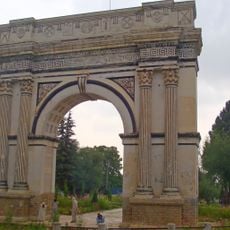
Taq-e Zafar
145 km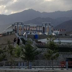
Paghman Hill Castle
146.2 km
Green Mosque
160.3 km
Our Lady of Divine Providence Chapel, Kabul
162.3 km
Shahr-e Zuhak, Bamyan
94.8 km
Cultural Landscape and Archaeological Remains of the Bamiyan Valley
94.1 km
Aq Köprük
145.4 km
Shāh Fōlādī
119.4 km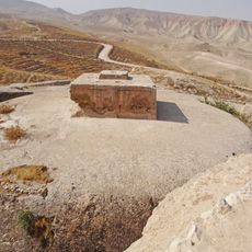
Takht-e Rostam
65.9 kmReviews
Visited this place? Tap the stars to rate it and share your experience / photos with the community! Try now! You can cancel it anytime.
Discover hidden gems everywhere you go!
From secret cafés to breathtaking viewpoints, skip the crowded tourist spots and find places that match your style. Our app makes it easy with voice search, smart filtering, route optimization, and insider tips from travelers worldwide. Download now for the complete mobile experience.

A unique approach to discovering new places❞
— Le Figaro
All the places worth exploring❞
— France Info
A tailor-made excursion in just a few clicks❞
— 20 Minutes