Paropamisus, Mountain ranges in northwestern Afghanistan.
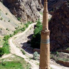
The Selseleh-ye Safīd Kūh, or Paropamisus, is an axial range of the Paropamisus system running over 400 km between the Murghab and Hari Rud valleys in northwestern Afghanistan. It is composed mainly of limestone, reaches 3,642 m at its highest point, and is cut by numerous gorges. Its western spurs are semi-desert, while the eastern slopes carry juniper forests and pistachio groves.
The range forms part of the Alpide belt and takes its local name, Selseleh-ye Safīd Kūh ("White Mountain range"), from its pale limestone. The Murgab River rises in the region, and silver and lead deposits occur in the mountains. The Soviet-era geographical dictionary and the Great Soviet Encyclopedia record the ridge as the axial range of the Paropamisus, over 400 km long with a maximum height of 3,642 m.
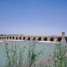
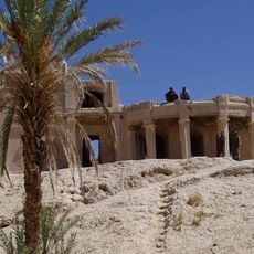
People living near these mountains rely on river valleys and oases for farming crops and orchards, making their daily life closely tied to the terrain. This traditional way of living has shaped the scattered settlements you see today in the river basins.
The range runs about 480 km between the Hindu Kush near Chaghcharan and the Hari River north of Herat, so approach from the river valleys where settlements lie. The Murgab also rises in the region. Western spurs are semi-desert; the east holds juniper and pistachio stands.
The range forms part of the Alpide belt, the same mountain system that runs from the Alps to the Himalayas. Its name Selseleh-ye Safīd Kūh means "White Mountain range" in the local Persian and Pashto forms, and the Marghab River rises within the region.
The community of curious travelers
AroundUs brings together thousands of curated places, local tips, and hidden gems, enriched daily by 92,748 contributors worldwide.