Villarrica Lake, lake in Chile
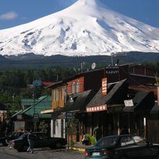
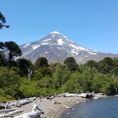
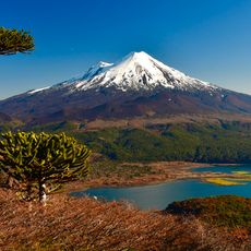
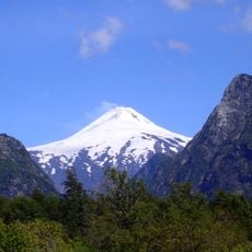
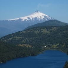
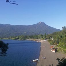
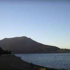
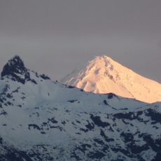
Villarrica Lake is an elliptical lake in Chile's Araucanía Region, southeast of Cautín Province and north of Villarrica Volcano. It covers 176 km², with a major axis of 23 km and a minor axis of 11 km. Villarrica town lies on the west shore and Pucón on the east; its only island, Aillaquillén, is uninhabited and about 300 m across.
The lake formed when a terminal moraine from the last glaciation dammed its waters. The Mapuche knew it as Mallolafquén in Mapudungun, and Luis Risopatrón recorded that name in his 1924 Diccionario Geográfico de Chile, along with variants such as Mallalauquen and Malla-bauquen. Its main inflow is the Pucón River, formed by the Liucura and Trancura, and it drains west through the Toltén.
The lake's pre-Hispanic Mapudungun name was Mallolafquén, recorded in Luis Risopatrón's 1924 geographic dictionary as Mallalauquen or Mallolavquen. The city of Villarrica carries the island Aillaquillén on its coat of arms as a historical heritage symbol. Today tour boats leave from both Villarrica and Pucón, and the lake hosts sailing, kayak and sport-fishing outings.
The water is warm in summer and invites swimming, sailing, kayaking, and water skiing, while winters are much colder. Both lakeside towns offer restaurants, shops, and lodging, making them good bases to stay and explore the area.
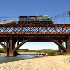
The lake holds a single island, Aillaquillén, uninhabited and about 300 metres across at its widest point. It lies 3.5 kilometres from the nearest shore and 7.2 kilometres from the bridge at the entrance to Villarrica, and it appears on the town's coat of arms as a historical emblem.
The community of curious travelers
AroundUs brings together thousands of curated places, local tips, and hidden gems, enriched daily by 94,691 contributors worldwide.