Patagonía, Geographic region in southern Argentina
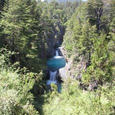
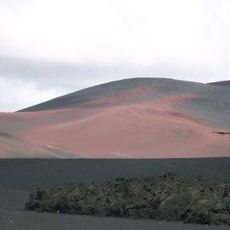
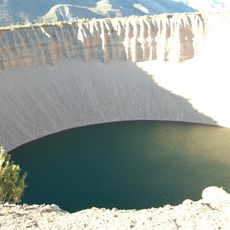
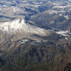
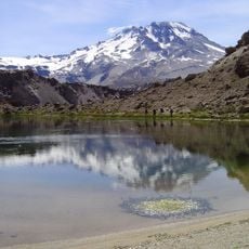
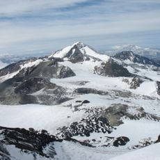
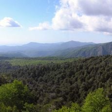
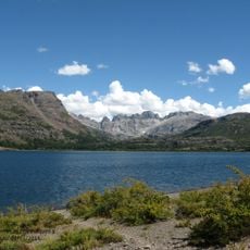
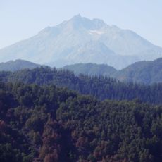
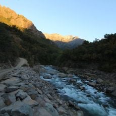
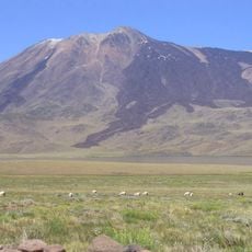
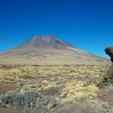
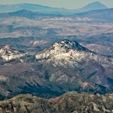
This territory stretches from the Colorado River in the north to Tierra del Fuego in the south, covering steppes, mountain ranges, glacial fields, and the Atlantic coast to the east. The landscape shifts between flat plateaus with low scrub, jagged Andean peaks, and deep valleys holding turquoise lakes.
Explorer Ferdinand Magellan gave the territory its name in 1520 after meeting the Tehuelche people during his voyage. European settlers arrived from the mid-1800s onward as Argentina expanded its southern borders and displaced indigenous communities.
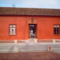
In small towns you encounter descendants of European settlers alongside Mapuche and Tehuelche communities who maintain craft traditions and preserve their languages. Welsh tearooms in Chubut province serve traditional cakes, while estancias welcome visitors with asado barbecues and folk music performances.
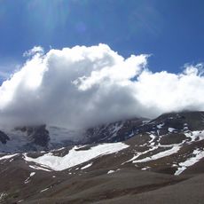
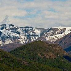
The climate brings strong winds and shifting temperatures, with summer running from December to March and winter bringing frequent snow to mountain areas. Layered warm clothing is advisable year-round, as conditions can change sharply even within a single day.
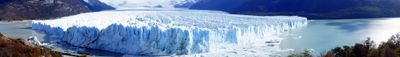
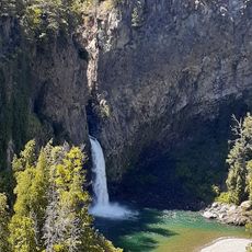
The Perito Moreno Glacier in Los Glaciares National Park runs about 30 kilometers (19 miles) and regularly drops ice blocks into Lake Argentino. Visitors often hear the deep rumble and crack of the advancing ice from a distance.
The community of curious travelers
AroundUs brings together thousands of curated places, local tips, and hidden gems, enriched daily by 60,000 contributors worldwide.