Easter Island, Remote volcanic island in Pacific Ocean, Chile.
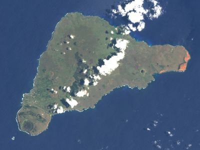
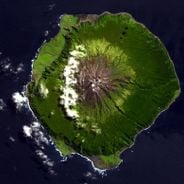
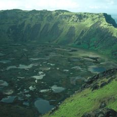
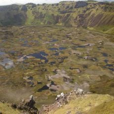
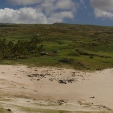
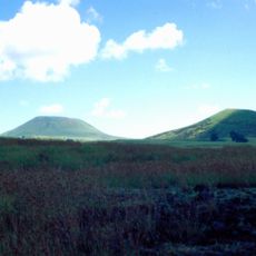
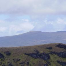
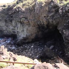
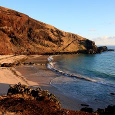
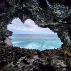
Easter Island is a triangular volcanic landmass in the Pacific Ocean, politically part of Chile, shaped by three extinct volcanoes and steep coastal cliffs that drop into the sea. The territory measures roughly 23 kilometers long and 11 kilometers wide, with grasslands and rocky soil covering much of the surface while black lava rocks and scattered sandy beaches line the shore.
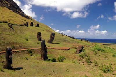
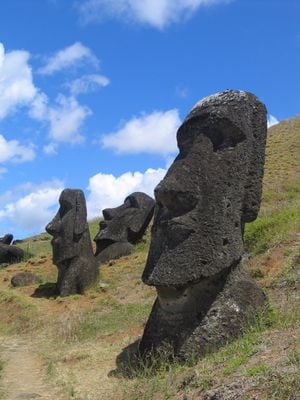
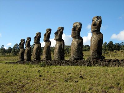
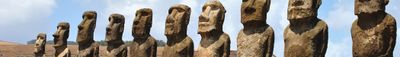
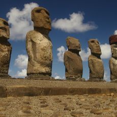
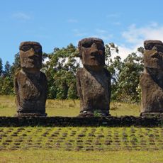
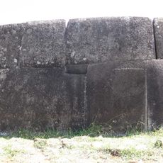
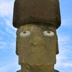
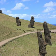
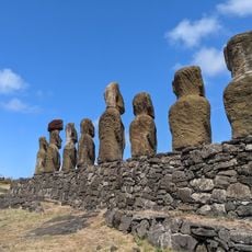
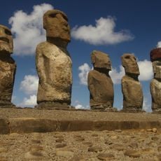
Polynesian voyagers reached the island around 1200 and began carving nearly 1000 stone statues called moai, placing them on ceremonial platforms along the coast. Statue production stopped in the 17th century when internal conflict and environmental changes transformed the society, leaving many moai toppled or abandoned at quarry sites.
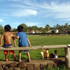
Local residents perform traditional Rapa Nui songs and dances during community gatherings and annual festivals, while artisans carve wooden figures and paint designs inspired by ancestral motifs. The native Rapa Nui language is heard in daily conversations and taught in schools, preserving an oral heritage that connects younger generations to their ancestors.
Visitors need a national park pass valid for five days to enter archaeological sites, with separate fees for Chilean residents and international travelers. The best travel window runs from October through March when weather is more stable and rain is less frequent, while winter months from June to August bring cooler temperatures and more frequent storms.
This territory is one of the most geographically isolated inhabited places on Earth, sitting 3512 kilometers (2182 miles) from the Chilean coast while the nearest inhabited land at Pitcairn lies 2075 kilometers (1289 miles) to the west. The island has its own airport with one of the longest runways in the South Pacific, originally designed as an emergency landing site for NASA space shuttles.
The community of curious travelers
AroundUs brings together thousands of curated places, local tips, and hidden gems, enriched daily by 60,000 contributors worldwide.