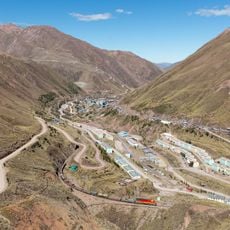
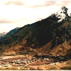
Morococha, Administrative district in Yauli Province, Peru
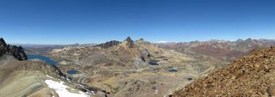
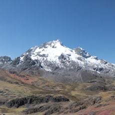
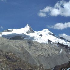
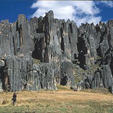
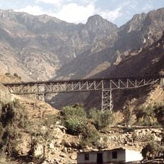
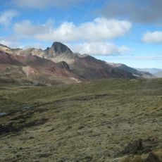
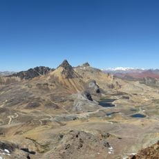
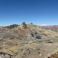
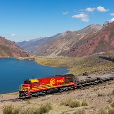
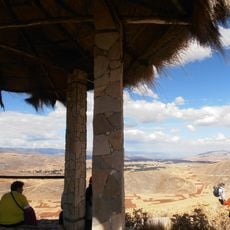
Morococha is an administrative district that extends across mountainous terrain in Peru's Junín Region at about 4,750 meters (15,600 feet) elevation. The landscape features steep slopes, broad high plateaus, and mineral-rich soils that shape the region's geography.
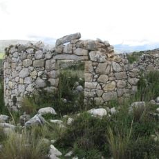
The district was established in 1907 and grew around mining activity that brought workers to this remote high-mountain region. Mining traditions strongly influenced settlement patterns and economic development throughout the area.
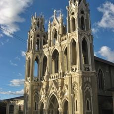
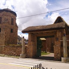
Quechua traditions shape daily life and local celebrations throughout the region. People here maintain traditional craftsmanship and ways of living that are closely tied to the high mountain environment.
Visitors should prepare for extreme elevation and allow time for acclimatization, as this location is remote and difficult to reach. Proper equipment for cold weather and altitude sickness is necessary, and travel planning should be done carefully.
The location sits at one of Peru's highest inhabited elevations, where people have adapted to daily life with extreme oxygen scarcity. This adaptation to such extreme conditions makes life here a striking example of human resilience.
The community of curious travelers
AroundUs brings together thousands of curated places, local tips, and hidden gems, enriched daily by 60,000 contributors worldwide.