
Cerros Tunshoc, Berggipfel in Peru
Location: Lima Department
Elevation above the sea: 4,721 m
GPS coordinates: -11.07639,-76.55389
Latest update: April 2, 2025 17:05
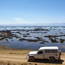
Junin National Reservation
48.2 km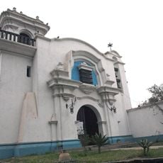
Hacienda Huando
82.3 km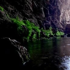
Huagapo
86.4 km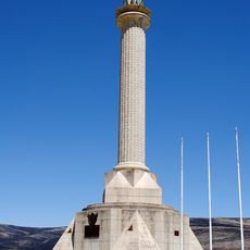
Chacamarca Historical Sanctuary
65.6 km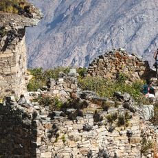
Rúpac
38.9 km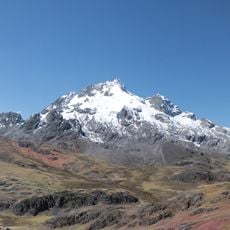
Rajuntay
61.9 km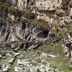
Cave of Lauricocha
85.9 km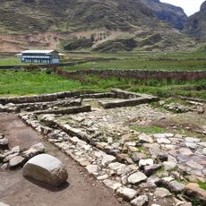
Warawtampu
68.1 km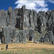
Huayllay National Sanctuary
27.1 km
Pumpu
34.4 km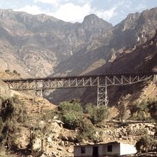
Verrugas Bridge
90.8 km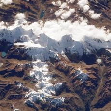
Cordillera Huayhuash Reserved Zone
84.7 km
Regional Conservation Area of System of Hills of Lima
93.6 km
Waqurunchu
91.2 km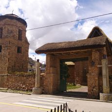
Iglesia San Pedro de Ninacaca
54.2 km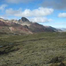
Anticona
69.7 km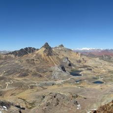
Chinchirusa
73.7 km
Aguar
54 km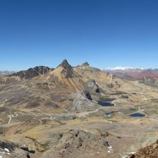
Yuraqqucha (Lima-Junín)
66.3 km
Wayrakancha
78.7 km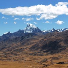
Huacshash
87 km
Quñuqp'ukru
76.4 km
Qanchis Kancha
70.4 km
Chuqi Chukchu
74.4 km
Chumpe (Junín)
92 km
Jirishmach'ay
69.2 km
Paraqti
75 km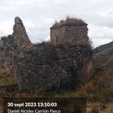
Goñicutac
67.5 kmReviews
Visited this place? Tap the stars to rate it and share your experience / photos with the community! Try now! You can cancel it anytime.
Discover hidden gems everywhere you go!
From secret cafés to breathtaking viewpoints, skip the crowded tourist spots and find places that match your style. Our app makes it easy with voice search, smart filtering, route optimization, and insider tips from travelers worldwide. Download now for the complete mobile experience.

A unique approach to discovering new places❞
— Le Figaro
All the places worth exploring❞
— France Info
A tailor-made excursion in just a few clicks❞
— 20 Minutes