Enable Location

We need your location to show you interesting places around you

Discover nearby places

Find interesting locations and hidden gems around you

Precise directions

Get accurate directions and distances to places

Your location is never shared with other users. It's only used when you tap the location button.

La Oroya District

Log in to your account

Start exploring — it's free

Trusted by 61,974 travelers worldwide

Continue with Google
Continue with Apple
or

We will send you a code to connect

By continuing, you accept our Terms and Conditions and our Privacy Policy

Check your inbox

We've sent a pincode in your inbox. Please enter the code below.

La Oroya District

La Oroya District, Mining district in Yauli Province, Peru

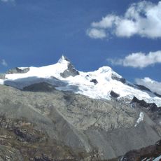
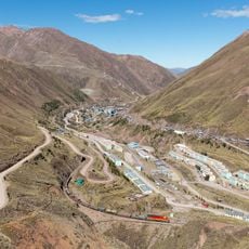
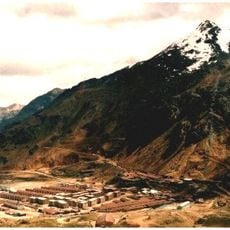
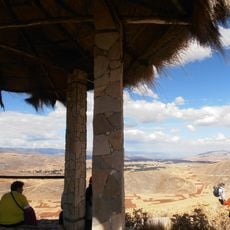
La Oroya District is an administrative area in Yauli Province that spreads across the Peruvian Andes at high elevation. The territory includes several small settlements scattered throughout a rugged mountain landscape.

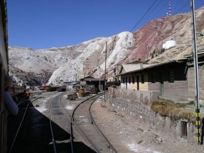
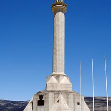
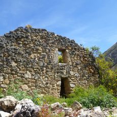
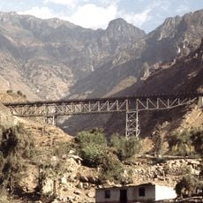
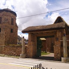
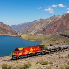
The area began as a Spanish settlement and later developed into an important location for resource extraction in the mountains. A railway connecting to Lima, built later, transformed the region's economic role.

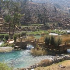
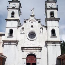
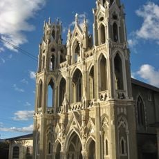
The district combines Spanish colonial influences with indigenous Andean traditions, reflecting the heritage of mountain communities in the Junin region.

The area sits at high elevation, so it is important to allow time for acclimatization and to drink plenty of water. The best time to visit is during the dry season, when mountain roads are more accessible.

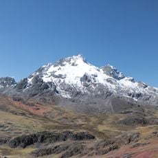
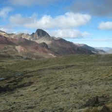
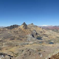
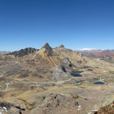
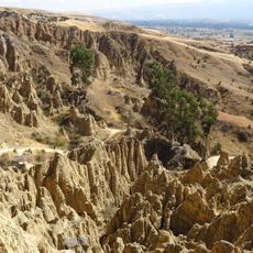
The district contains multiple peaks above 4,400 meters, including Hatun Punta, Anta Waru, and Hatun Chunta, forming a high-altitude Andean landscape.

The community of curious travelers

AroundUs brings together thousands of curated places, local tips, and hidden gems, enriched daily by 60,000 contributors worldwide.

Start exploring
Location
Capital city
La Oroya
Elevation above the sea
3,745 m
Shares border with
Tarma District, Pomacancha District, Curicaca District, Chacapalpa, Huay-Huay, Yauli District, Santa Rosa de Sacco, Paccha District
GPS coordinates
-11.52200,-75.91000
Latest update
December 7, 2025 20:45
« La Oroya District - Mining district in Yauli Province, Peru » is provided by Around Us (aroundus.com). Images and texts are derived from Wikimedia project under a Creative Commons license. You are allowed to copy, distribute, and modify copies of this page, under the conditions set by the license, as long as this note is clearly visible.

Discover hidden gems everywhere you go!

From secret cafés to breathtaking viewpoints, skip the crowded tourist spots and find places that match your style. Our app makes it easy with voice search, smart filtering, route optimization, and insider tips from travelers worldwide. Download now for the complete mobile experience.

Around Us App Screenshot

A unique approach to discovering new places

Le Figaro

All the places worth exploring

France Info

A tailor-made excursion in just a few clicks

20 Minutes

Around Us
Travel Guide & Maps
Download

Send to your phone

QR Code
1

Open the camera app on your mobile.

2

Point at the QR code with your camera. A notification will appear.

3

Tap the notification to open the link.