
Cerro Urachacra, cliff in Junín, Peru
Location: Junin Department
Elevation above the sea: 4,426 m
GPS coordinates: -11.36500,-75.92083
Latest update: April 4, 2025 04:02
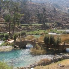
Nor Yauyos-Cochas Landscape Reserve
75 km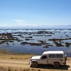
Junin National Reservation
59.1 km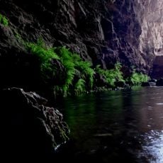
Huagapo
18.1 km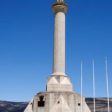
Chacamarca Historical Sanctuary
17.4 km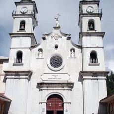
Colegio de Propaganda Fide de Santa Rosa de Ocopa
88.8 km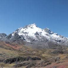
Rajuntay
40.6 km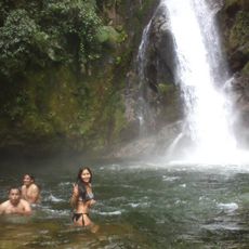
Pampa Hermosa National Sanctuary
60.4 km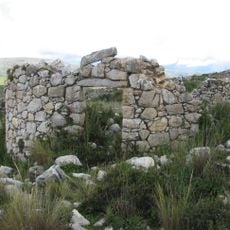
Tunanmarka
52.9 km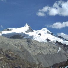
Pariacaca
70.3 km
Huayllay National Sanctuary
65.6 km
Zárate Forest Reserved Zone
88.2 km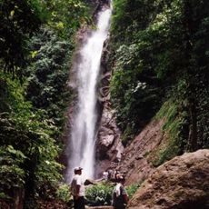
Catarata El Tirol
69.1 km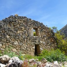
Tarmatambo
28.4 km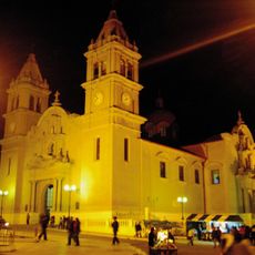
Saint Anne Church (Tarma)
26.1 km
Pumpu
63.2 km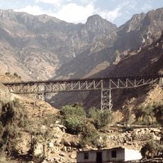
Verrugas Bridge
85 km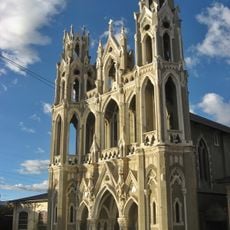
Capilla Cristo Pobre
65 km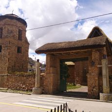
Iglesia San Pedro de Ninacaca
60.4 km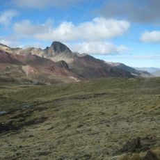
Anticona
37.5 km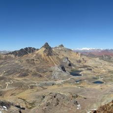
Chinchirusa
42.1 km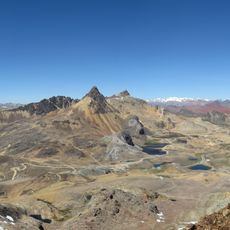
Yuraqqucha (Lima-Junín)
39.9 km
Wayrakancha
47.1 km
Quñuqp'ukru
49.6 km
Qanchis Kancha
46.4 km
Chuqi Chukchu
45.7 km
Chumpe (Junín)
43.1 km
Jirishmach'ay
41.9 km
Paraqti
44 kmReviews
Visited this place? Tap the stars to rate it and share your experience / photos with the community! Try now! You can cancel it anytime.
Discover hidden gems everywhere you go!
From secret cafés to breathtaking viewpoints, skip the crowded tourist spots and find places that match your style. Our app makes it easy with voice search, smart filtering, route optimization, and insider tips from travelers worldwide. Download now for the complete mobile experience.

A unique approach to discovering new places❞
— Le Figaro
All the places worth exploring❞
— France Info
A tailor-made excursion in just a few clicks❞
— 20 Minutes